Near Petrolia in Humboldt County, California — The American West (Pacific Coastal)
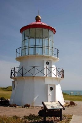
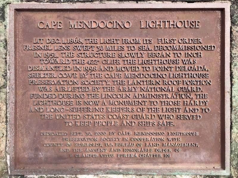
Cape Mendocino Lighthouse
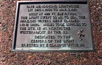
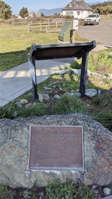
Lit Dec. 1, 1868 to Mar. 3, 1951. Built at 422 ft. elevation, the light swept 30 mi. to sea. The perilous waters here claimed nine ships. Mules took supplies to the site, 15 mi. north, the westernmost in the U.S. Dedicated to the Keepers of the Light.
Erected 2000 by E Clampus Vitus Eureka Chapter 101.
Topics and series. This historical marker is listed in these topic lists: Notable Buildings • Waterways & Vessels. In addition, it is included in the E Clampus Vitus, and the Lighthouses series lists. A significant historical date for this entry is December 1, 1868.
Location. Marker is missing. It was located near 40° 25.053′ N, 124° 23.9′ W. Marker was near Petrolia, California, in Humboldt County. Marker was on Mattole Road, on the right when traveling south. The marker is located along "The Lost Coast" in the King Range National Conservation Area. Touch for map. Marker was at or near this postal address: 27427 Mattole Road, Ferndale CA 95536, United States of America. Touch for directions.
Other nearby markers. At least 8 other markers are within 13 miles of this location, measured as the crow flies. California's First Drilled Oil Wells (approx. 8.7 miles away); Joseph C. Oeschger Field (approx. 12.9 miles away); Old Firemen's Pavilion (approx. 12.9 miles away); Ferndale Memorial Day Parade (approx. 13 miles away); Ferndale Cemetery (approx. 13 miles away); Ferndale Masonic Hall (approx. 13 miles away); Centerville Beach Cross (approx. 13 miles away); The Victorian Inn (approx. 13 miles away).
Credits. This page was last revised on September 8, 2021. It was originally submitted on January 25, 2012, by Michael Kindig of Elk Grove, California. This page has been viewed 781 times since then and 20 times this year. Photos: 1. submitted on January 25, 2012, by Michael Kindig of Elk Grove, California. 2. submitted on June 6, 2007, by Karen Key of Sacramento, California. 3. submitted on January 25, 2012, by Michael Kindig of Elk Grove, California. 4, 5. submitted on September 7, 2021, by Craig Baker of Sylmar, California. • Syd Whittle was the editor who published this page.
