Arches National Park in Grand County, Utah — The American Mountains (Southwest)
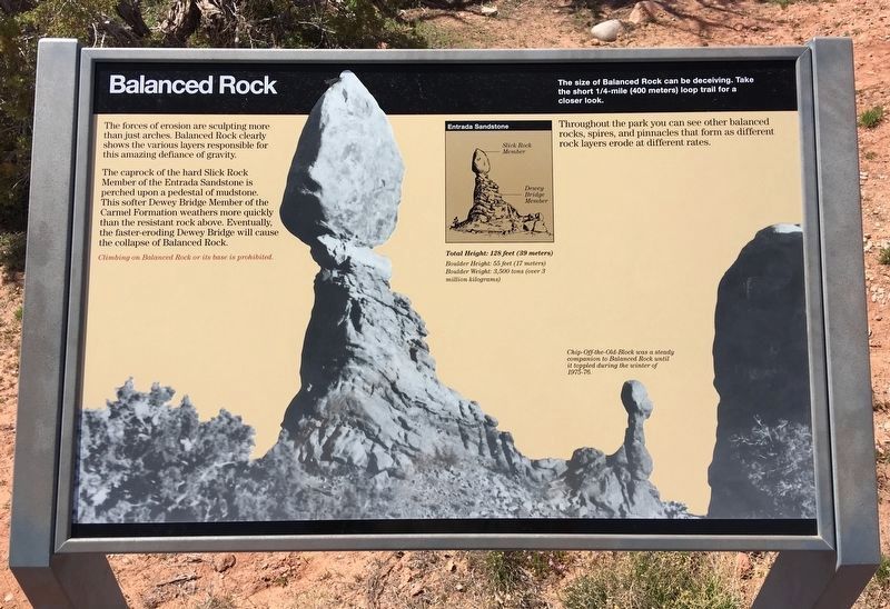
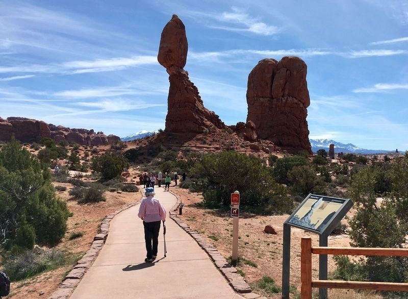
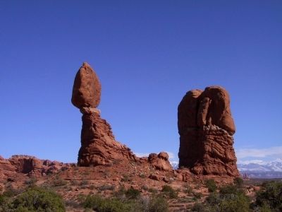
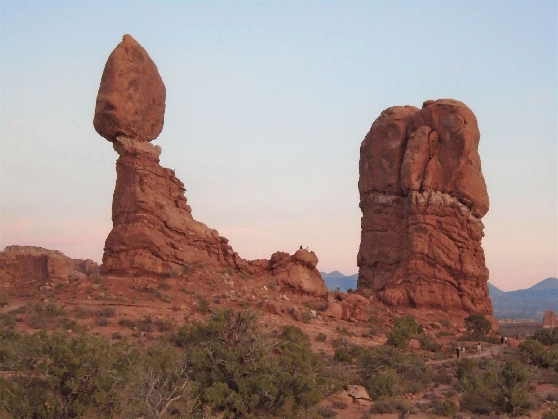
Balanced Rock
The caprock of the hard Slick Rock Member of the Entrada Sandstone is perched upon a pedestal of mudstone. This softer Dewey Bridge Member of the Carmel Formation weathers more quickly than the resistant rock above. Eventually, the faster-eroding Dewey Bridge will cause the collapse of the Balanced Rock.
Throughout the park you can see other balanced rocks, spires, and pinnacles that form as different rock layers erode at different rates.
Entrada Sandstone
Total Height: 128 feet (39 meters)
Boulder Height: 55 feet (17 meters)
Boulder Weight: 3,500 tons (over 3 million kilograms)
Chip-Off-the-Old-Block was a steady companion to Balanced Rock until it toppled during the winter of 1975-76.
Erected by National Park Service, U.S. Department of the Interior.
Topics. This historical marker is listed in this topic list: Natural Features.
Location. 38° 42.089′ N, 109° 33.926′ W. Marker is in Arches National Park, Utah, in Grand County. Marker is on Arches Entrance Road, on the right when traveling north. Touch for map. Marker is in this post office area: Moab UT 84532, United States of America. Touch for directions.
Other nearby markers. At least 8 other markers are within 7 miles of this marker, measured as the crow flies. Double Arch (approx. 1.7 miles away); How Arches Are Formed (approx. 1.9 miles away); Ancient Sand Dunes (approx. 2.7 miles away); Wolfe Ranch (approx. 3.4 miles away); Utah Serviceberry (approx. 6.6 miles away); Harriman's Yucca (approx. 6.6 miles away); Rubber Rabbitbrush (approx. 6.6 miles away); Moab Utah UMTRA Project (approx. 7.1 miles away). Touch for a list and map of all markers in Arches National Park.
Also see . . . Arches National Park - NPS. (Submitted on January 30, 2012, by Bill Pfingsten of Bel Air, Maryland.)
Credits. This page was last revised on January 17, 2024. It was originally submitted on January 27, 2012, by Michael Kindig of Elk Grove, California. This page has been viewed 1,042 times since then and 56 times this year. Photos: 1. submitted on April 8, 2019, by Craig Baker of Sylmar, California. 2. submitted on January 27, 2012, by Michael Kindig of Elk Grove, California. 3. submitted on April 7, 2019, by Craig Baker of Sylmar, California. 4. submitted on January 27, 2012, by Michael Kindig of Elk Grove, California. 5. submitted on November 13, 2020, by William Fischer, Jr. of Scranton, Pennsylvania. • Bill Pfingsten was the editor who published this page.
