Bath in Sagadahoc County, Maine — The American Northeast (New England)
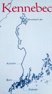
Kennebec River
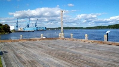
From the first settlement in 1607 to the present, the river has seen logging, fishing, shipbuilding, commercial travel, ice cutting, milling, and power generation. Over 5,000 vessels have been built on the shores of this river in more than 200 shipyards. Today's traffic consists of pleasure craft, fishing boats, tugs, tour boats, Coast Guard vessels, and Bath-built Naval vessels.
[Kennebec River at Bath]
Mean range of tide at Bath: 6 1/2 feet
Head of tidewater: Augusta, state capitol [sic], 45 miles from the sea
Salinity: The water is slightly salty a few miles above Bath
Depth: Although the river is over 100 feet deep in places,
the minimum channel depth up to Bath is maintained at 27 feet
Current: Tidal currents average between 2 and 3 knots; ebb velocities of 4 knots have been observed
Erected by Maine Maritime Museum.
Topics. This historical marker is listed in these topic lists: Environment • Horticulture & Forestry • Industry & Commerce • Waterways & Vessels. A significant historical year for this entry is 1607.
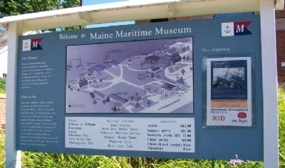
Location. 43° 53.697′ N, 69° 48.885′ W. Marker is in Bath, Maine, in Sagadahoc County. Marker is on the grounds of the Maine Maritime Museum, 243 Washington Street. Touch for map. Marker is in this post office area: Bath ME 04530, United States of America. Touch for directions.
Other nearby markers. At least 8 other markers are within walking distance of this marker. The Fitting-Out Pier (1906) (within shouting distance of this marker); Wyoming Sculpture (within shouting distance of this marker); Launch day! (within shouting distance of this marker); Site of the North Ways (1901) (within shouting distance of this marker); Site of the South Ways (ca. 1867) (about 300 feet away, measured in a direct line); Bath Iron Works (about 300 feet away); The Caulkers' Shed (1899) (about 300 feet away); a different marker also named Wyoming Sculpture (about 300 feet away). Touch for a list and map of all markers in Bath.
More about this marker. The Maine Maritime Museum is on the grounds of the former Percy & Small Shipyard, which was the last remaining intact wooden sailing vessel shipyard in the United States.
Also see . . .
1. Maine Maritime Museum. (Submitted on January 29, 2012, by William Fischer, Jr. of Scranton, Pennsylvania.)
2. Maine Rivers. (Submitted on January 29, 2012, by William Fischer, Jr. of Scranton, Pennsylvania.)
3. Kennebec River. (Submitted on January 29, 2012, by William Fischer, Jr. of Scranton, Pennsylvania.)
4. Kennebec River. (Submitted on January 29, 2012, by William Fischer, Jr. of Scranton, Pennsylvania.)
Credits. This page was last revised on June 16, 2016. It was originally submitted on January 29, 2012, by William Fischer, Jr. of Scranton, Pennsylvania. This page has been viewed 774 times since then and 24 times this year. Photos: 1, 2, 3. submitted on January 29, 2012, by William Fischer, Jr. of Scranton, Pennsylvania. 4. submitted on January 27, 2012, by William Fischer, Jr. of Scranton, Pennsylvania.


