Lubbock in Lubbock County, Texas — The American South (West South Central)
Austin Brothers Bridge
Photographed by Kevin Hoch, April 23, 2011
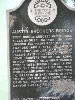
1. Austin Brothers Bridge Marker
Erected 1982 by City of Lubbock Urban Design & Historic Preservation Commission.
Topics. This historical marker is listed in this topic list: Man-Made Features. A significant historical year for this entry is 1913.
Location. 33° 36.703′ N, 101° 52.269′ W. Marker is in Lubbock, Texas, in Lubbock County. It is on Cesar East Chavez Drive 0.1 miles North University Avenue, on the right when traveling east. Located in Hodges Park. Touch for map. Marker is in this post office area: Lubbock TX 79415, United States of America. Touch for directions.

Regionally, this marker is on the South Plains. It is also on the American Great Plains, specifically on the Southern Plains, and
this page online
Other nearby markers. At least 8 other markers are within 2 miles of this marker, measured as the crow flies: Landwer/Manicapelli Home (about 800 feet away, measured in a direct line); The Free Range Era of Ranching (approx. 1.6 miles away); Old Block Drift Fence (approx. 1.6 miles away); Wild Cow Corral (approx. 1.6 miles away); Old Mail Camp (approx. 1.6 miles away); Matador Half – Dugout (approx. 1.6 miles away); Jowell Cemetery (approx. 1.6 miles away); Jowell House (approx. 1.6 miles away). Touch for a list and map of all markers in Lubbock.
Photographed by Bill Kirchner, June 9, 2017
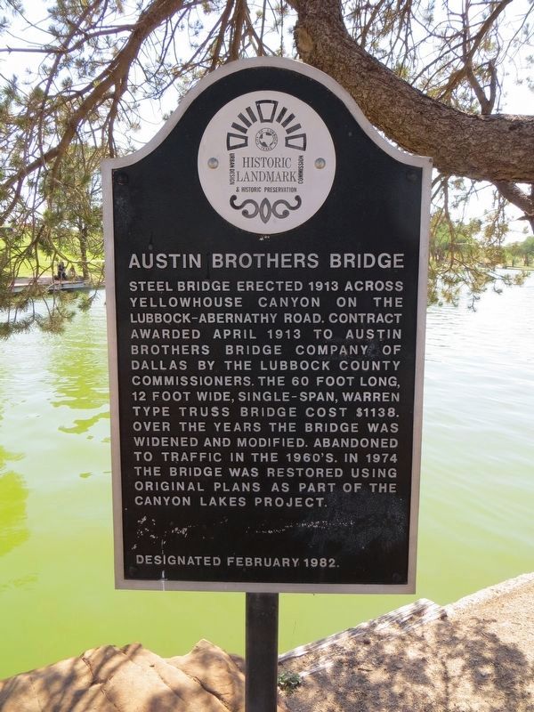
2. Austin Brothers Bridge Marker
Photographed by Bill Kirchner, June 9, 2017
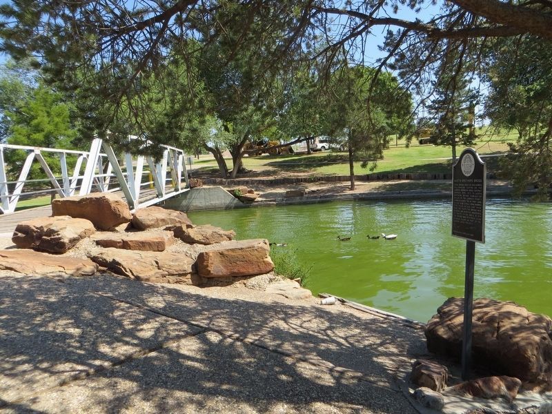
3. Austin Brothers Bridge Marker
Photographed by Bill Kirchner, June 9, 2017
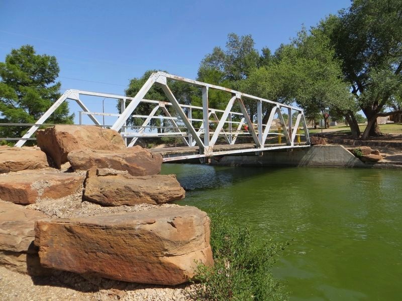
4. Austin Brothers Bridge
Credits. This page was last revised on August 2, 2017. It was originally submitted on February 3, 2012, by Kevin Hoch of Waco, Texas. This page has been viewed 1,402 times since then and 71 times this year. Photos: 1. submitted on February 3, 2012, by Kevin Hoch of Waco, Texas. 2, 3, 4. submitted on July 31, 2017, by Bill Kirchner of Tucson, Arizona. • Craig Swain was the editor who published this page.
