Sanford in Seminole County, Florida — The American South (South Atlantic)
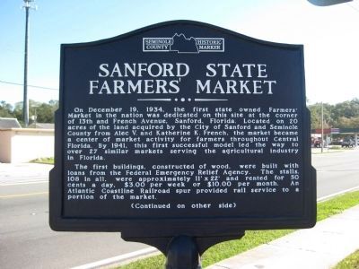
Sanford State Farmers' Market
Photographed by AGS Media, December 30, 2011
1. Sanford State Farmers' Market Marker
The first buildings, constructed of wood, were built with loans from the Federal Emergency Relief Agency. The stalls, 108 in all, were approximately 11' x 22' and rented for 50 cents a day, $3.00 per week or $10.00 per month. An Atlantic Coastline Railroad spur provided rail service to a portion of the market.
(Reverse side)
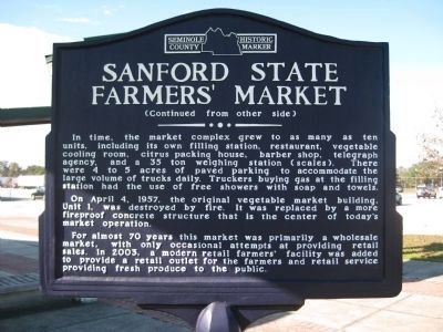
In time, the market complex grew to as many as ten units, including its own filling station, restaurant, vegetable cooling room, citrus packing house, barber shop, telegraph agency, and a 35 ton weighing station (scales). There were 4 to 5 acres of paved parking to accommodate the large volume of trucks daily. Truckers buying
this page online
On April 4, 1957, the original vegetable market building, Unit 1, was destroyed by fire. It was replaced by a more fireproof concrete structure that is the center of today's market operation.
For almost 70 years this market was primarily a wholesale market, with only occasional attempts at providing retail sales. In 2003, a modern retail farmers' facility was added to provide a retail outlet for the farmers and retail service providing fresh produce to the public.
Topics. This historical marker is listed in these topic lists: Agriculture • Industry & Commerce. A significant historical month for this entry is April 1779.
Location. 28° 47.99′ N, 81° 16.394′ W. Marker is in Sanford, Florida, in Seminole County. It is on South French Avenue (U.S. 17/92) south of West 13th Street, on the right when traveling south. Touch for map. Marker is at or near this postal address: 1300 South French Avenue, Sanford FL 32771, United States of America. Touch for directions.

Regionally, this marker is in Greater Orlando and in Central Florida. It is also in the American
Photographed by AGS Media, December 30, 2011
2. Sanford State Farmers' Market Marker
Other nearby markers. At least 8 other markers are within walking distance of this marker: Dr. Seth French (1824~1896) (approx. ¼ mile away); Goldsboro (approx. half a mile away); Sanford High School / Sanford Grammar / Student Museum (approx. half a mile away); History of George W. Touhy Park (approx. half a mile away); Mount Vernon Grove (approx. half a mile away); Ponce de León Grove (approx. half a mile away); Hellen Keller Grove (approx. half a mile away); Martin Luther King, Jr. Grove (approx. half a mile away). Touch for a list and map of all markers in Sanford.
More about this marker. The marker is capped with the Seminole County Historic Marker logo.
Photographed by AGS Media, December 30, 2011
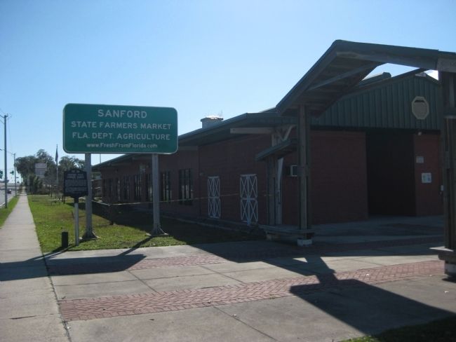
3. Sanford State Farmers' Market Marker
Photographed by AGS Media, December 30, 2011
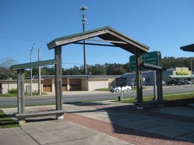
4. Sanford State Farmers' Market Marker
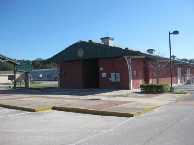
Photographed by AGS Media, December 30, 2011
5. Sanford State Farmers' Market Marker
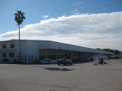
Photographed by AGS Media, December 30, 2011
6. Sanford State Farmers' Market
Credits. This page was last revised on June 16, 2016. It was originally submitted on February 4, 2012, by Glenn Sheffield of Tampa, Florida. This page has been viewed 2,004 times since then and 100 times this year. Photos: 1, 2, 3, 4, 5, 6. submitted on February 4, 2012, by Glenn Sheffield of Tampa, Florida. • Craig Swain was the editor who published this page.
