Mayfield in Graves County, Kentucky — The American South (East South Central)
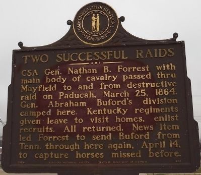
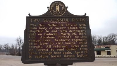
Two Successful Raids
Erected 1964 by Kentucky Historical Society, Kentucky Department of Highways. (Marker Number 654.)
Topics and series. This historical marker is listed in this topic list: War, US Civil. In addition, it is included in the Kentucky Historical Society series list. A significant historical date for this entry is March 25, 1878.
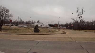
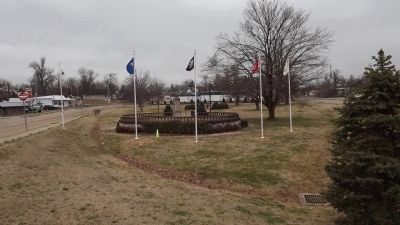
Location. 36° 44.863′ N, 88° 38.203′ W. Marker is in Mayfield, Kentucky, in Graves County. Marker is at the intersection of Paducah Road, 8th Street (U.S. 45) and 7th Street (Kentucky Route 121), in the median on Paducah Road, 8th Street. Marker is at intersection of Paducah Road (US 45 & SR 121) & 8th Street (US45) & 7th Street (SR 121). 8th street is one way, south only & 8th Street is one way, north only. Touch for map. Marker is at or near this postal address: 650 N 7th Street, Mayfield KY 42066, United States of America. Touch for directions.
Other nearby markers. At least 8 other markers are within walking distance of this marker. Wooldridge Monuments (about 600 feet away, measured in a direct line); First Presbyterian Church (approx. 0.4 miles away); Colonel Herschel H. Green (approx. 0.4 miles away); Graves County Confederate Memorial (approx. 0.4 miles away); County Named, 1823 (approx. 0.4 miles away); Operation Desert Storm (approx. 0.4 miles away); Secession Abandoned (approx. half a mile away); First Baptist Church (approx. half a mile away). Touch for a list and map of all markers in Mayfield.
Credits. This page was last revised on June 16, 2016. It was originally submitted on February 5, 2012, by Ken Smith of Milan, Tennessee. This page has been viewed 621 times since then and 13 times this year. Photos: 1, 2, 3, 4, 5. submitted on February 5, 2012, by Ken Smith of Milan, Tennessee. • Craig Swain was the editor who published this page.
