Walnut Cove in Stokes County, North Carolina — The American South (South Atlantic)
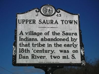
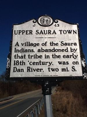
Upper Saura Town
Erected by NC Division of Archives and History. (Marker Number J-43.)
Topics and series. This historical marker is listed in these topic lists: Colonial Era • Native Americans. In addition, it is included in the North Carolina Division of Archives and History series list.
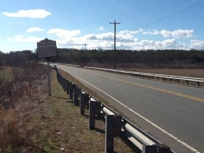
Location. 36° 19.599′ N, 80° 5.744′ W. Marker is in Walnut Cove, North Carolina, in Stokes County. Marker is on U.S. 311 N, on the right when traveling north. Located at the Dan River bridge. Touch for map. Marker is in this post office area: Walnut Cove NC 27052, United States of America. Touch for directions.
Other nearby markers. At least 8 other markers are within 9 miles of this marker, measured as the crow flies. Great Wagon Road (approx. 3.2 miles away); Joseph Winston (approx. 4.3 miles away); Robert Opie Lindsay (approx. 7.2 miles away); Moratock Iron Furnace (approx. 8 miles away); Moratock Furnace (approx. 8.1 miles away); Gabriel Moore (approx. 8.4 miles away); Stoneman’s Raid (approx. 8.4 miles away); Stokes County World War I Monument (approx. 8.4 miles away). Touch for a list and map of all markers in Walnut Cove.
More about this marker. Located at the Dan River, which is named for Danapha, an early Saura chief.
Credits. This page was last revised on April 28, 2021. It was originally submitted on February 12, 2012, by Michael C. Wilcox of Winston-Salem, North Carolina. This page has been viewed 1,049 times since then and 72 times this year. Photos: 1, 2, 3, 4. submitted on February 12, 2012, by Michael C. Wilcox of Winston-Salem, North Carolina. • Bill Pfingsten was the editor who published this page.


