Fort Towson in Choctaw County, Oklahoma — The American South (West South Central)
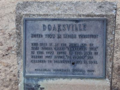
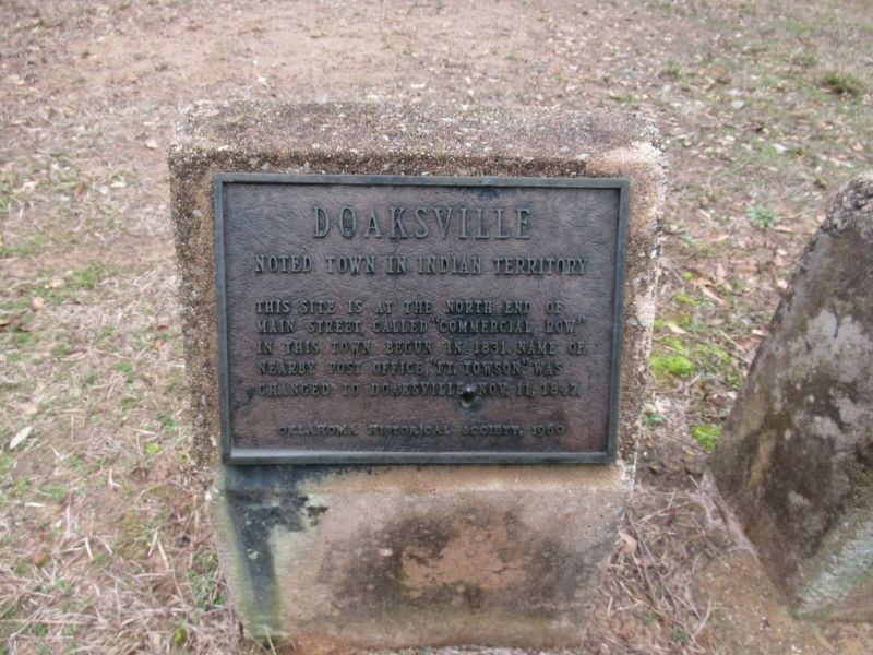
Doaksville
Noted Town in Indian Territory
Erected 1960 by Oklahoma Historical Society.
Topics and series. This historical marker is listed in these topic lists: Native Americans • Settlements & Settlers • War, US Civil. In addition, it is included in the Oklahoma Historical Society series list. A significant historical month for this entry is October 1941.
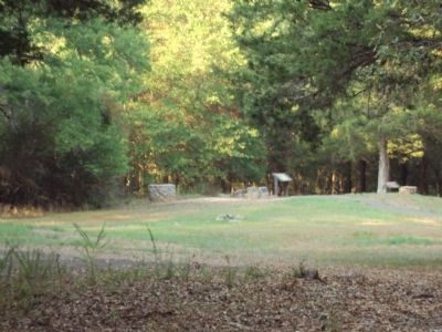
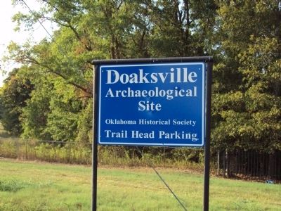
Location. 34° 2.092′ N, 95° 16.192′ W. Marker is in Fort Towson, Oklahoma, in Choctaw County. Marker can be reached from Red Road, 1˝ miles U.S. 70. Marker is located in the Doaksville Archeological Park north of the Town of Fort Towson. The quickest way to the marker is to park inside the east side of the Fort Towson Cemetery. Near the east cemetery wall is a set of steps that lead over the wall and into the former Doaksville town site. It is not recommended for the handicaped. It is a longer walk from the "official" gate on the north side of the cemetery. Touch for map. Marker is in this post office area: Fort Towson OK 74735, United States of America. Touch for directions.
Other nearby markers. At least 8 other markers are within walking distance of this marker. Stand Watie’s Surrender (here, next to this marker); A Community Well (here, next to this marker); Notice! (a few steps from this marker); The Preservation of Doaksville (within shouting distance of this marker); The Doaksville Hotel (within shouting distance of this marker); A Store on Commercial Row (within shouting distance of this marker); Why The Mound? (within shouting distance of this marker); A Kitchen? (within shouting distance of this marker). Touch for a list and map of all markers in Fort Towson.
Credits. This page was last revised on January 1, 2024. It was originally submitted on February 12, 2012, by Michael Manning of Woodlawn, Tennessee. This page has been viewed 903 times since then and 33 times this year. Photos: 1. submitted on February 12, 2012, by Michael Manning of Woodlawn, Tennessee. 2. submitted on January 1, 2024, by Jason Armstrong of Talihina, Oklahoma. 3, 4. submitted on February 12, 2012, by Michael Manning of Woodlawn, Tennessee. • Craig Swain was the editor who published this page.


