Near Fort Towson in Choctaw County, Oklahoma — The American South (West South Central)
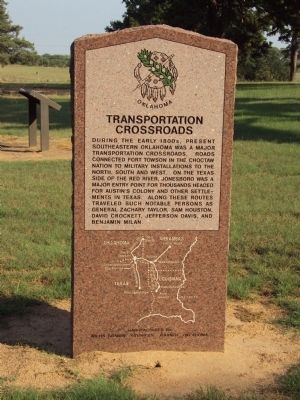
Transportation Crossroads
Erected by Oklahoma Historical Society.
Topics and series. This historical marker is listed in these topic lists: Forts and Castles • Roads & Vehicles • Settlements & Settlers • Wars, US Indian. In addition, it is included in the Former U.S. Presidents: #12 Zachary Taylor, and the Oklahoma Historical Society series lists.
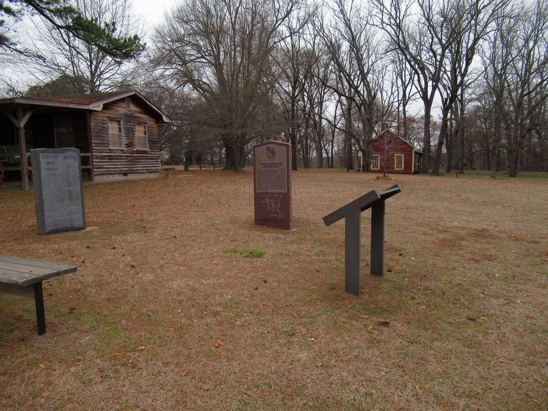
Location. 34° 1.665′ N, 95° 15.458′ W. Marker is near Fort Towson, Oklahoma, in Choctaw County. Marker is on Fort Towson Historic Site Road (County Road E2060) half a mile west of County Road N4375. Marker is located within Fort Towson Historic Site. Touch for map. Marker is in this post office area: Fort Towson OK 74735, United States of America. Touch for directions.
Other nearby markers. At least 8 other markers are within walking distance of this marker. Sutler Store (a few steps from this marker); Dorothy Jane Orton (within shouting distance of this marker); Barracks (about 700 feet away, measured in a direct line); Hospital and Commissary (about 800 feet away); Native American Patriots Memorial (approx. 0.2 miles away); Officers' Row (approx. 0.2 miles away); Fort Towson Landing (approx. 0.7 miles away); Fort Towson (approx. ¾ mile away). Touch for a list and map of all markers in Fort Towson.
Credits. This page was last revised on January 15, 2024. It was originally submitted on February 12, 2012, by Michael Manning of Woodlawn, Tennessee. This page has been viewed 815 times since then and 34 times this year. Photos: 1. submitted on February 12, 2012, by Michael Manning of Woodlawn, Tennessee. 2. submitted on January 15, 2024, by Jason Armstrong of Talihina, Oklahoma. • Bernard Fisher was the editor who published this page.

