Green Hills in Nashville in Davidson County, Tennessee — The American South (East South Central)
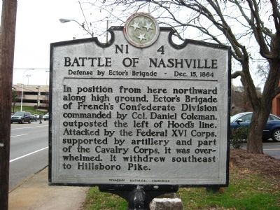
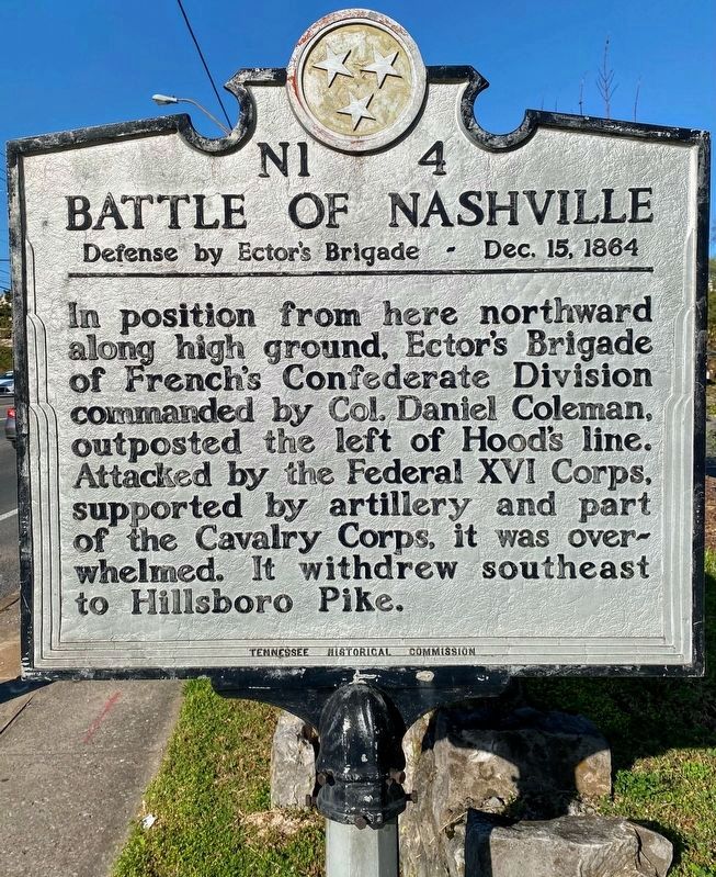
Battle of Nashville
Defense by Ector's Brigade
| — | Dec. 15, 1864 | — |
Photographed by Kevin Hoch, February 13, 2012
1. Battle of Nashville Marker
Erected by Tennessee Historical Commission. (Marker Number N1 4.)
Topics and series. This historical marker is listed in this topic list: War, US Civil. In addition, it is included in the Tennessee Historical Commission series list.
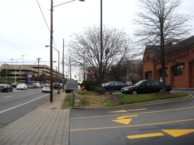
Location. 36° 7.62′ N, 86° 50.67′ W. Marker is in Nashville, Tennessee, in Davidson County. It is in Green Hills. It is on Harding Road, on the right when traveling east. Located out front of a Walgreens by the turn in for the back/drive-through portion. Touch for map. Marker is in this post office area: Nashville TN 37205, United States of America. Touch for directions.

Regionally, this marker is in Middle Tennessee. It is also in the American South and specifically in the Upper South. Globally, it is in North America,
this page online
Other nearby markers. At least 8 other markers are within walking distance of this marker: Richland Creek Greenway (approx. 0.3 miles away); Dutchman’s Curve Train Wreck (approx. 0.3 miles away); Johnson's Station (approx. 0.3 miles away); Vine Street Christian Church (approx. 0.4 miles away); Montgomery Bell Academy (approx. 0.4 miles away); Kenner Manor Historic District (approx. 0.6 miles away); Francis Craig Residence (approx. 0.7 miles away); Woodmont School (approx. ¾ mile away). Touch for a list and map of all markers in Nashville.
Photographed by Shane Oliver, April 11, 2021
2. Battle of Nashville Marker
Photographed by Kevin Hoch, February 13, 2012
3. Battle of Nashville Marker
Credits. This page was last revised on February 7, 2023. It was originally submitted on February 13, 2012, by Kevin Hoch of Waco, Texas. This page has been viewed 1,515 times since then and 60 times this year. Photos: 1. submitted on February 13, 2012, by Kevin Hoch of Waco, Texas. 2. submitted on May 28, 2021, by Shane Oliver of Richmond, Virginia. 3. submitted on February 13, 2012, by Kevin Hoch of Waco, Texas. • Craig Swain was the editor who published this page.
