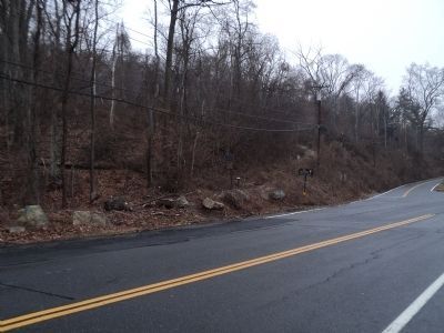
Bear Mountain in Rockland County, New York — The American Northeast (Mid-Atlantic)
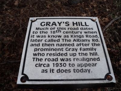
Gray’s Hill
to the 18th century when
it was known as Kings Road,
later called The Albany Rd.
and then named after the
prominent Gray family
who resided up the hill.
The road was realigned
circa 1930 to appear
as it does today.
Topics. This historical marker is listed in this topic list: Roads & Vehicles. A significant historical year for this entry is 1930.
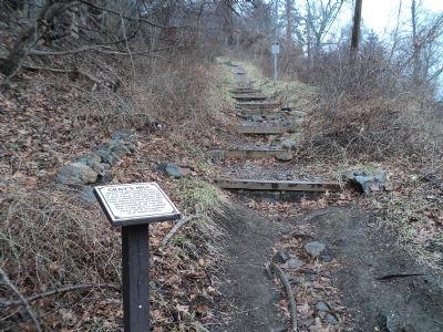
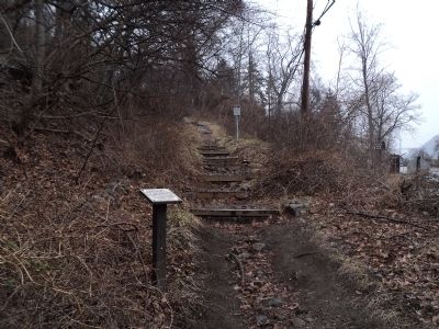
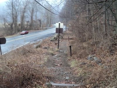
Location. 41° 18.091′ N, 73° 59.169′ W. Marker is in Bear Mountain, New York, in Rockland County. Marker is on New York State Route 9 W, on the left when traveling north. Touch for map. Marker is in this post office area: Bear Mountain NY 10911, United States of America. Touch for directions.
Other nearby markers. At least 8 other markers are within one mile of this marker, measured as the crow flies. Doodletown (here, next to this marker); The Historic 1777 & 1779 Trails (approx. 0.6 miles away); Palisades Interstate Park (approx. 0.8 miles away); Discover the Appalachian National Scenic Trail (approx. 0.8 miles away); Preserving a National Landmark (approx. 0.8 miles away); First Fighting at Fort Clinton (approx. 0.9 miles away); Fighting at Hessian Lake (approx. one mile away); Walt Whitman (approx. 1.1 miles away). Touch for a list and map of all markers in Bear Mountain.
Credits. This page was last revised on June 16, 2016. It was originally submitted on February 17, 2012, by Bill Coughlin of Woodland Park, New Jersey. This page has been viewed 612 times since then and 16 times this year. Photos: 1, 2, 3, 4, 5. submitted on February 17, 2012, by Bill Coughlin of Woodland Park, New Jersey.
