Santa Clara in Santa Clara County, California — The American West (Pacific Coastal)
Mission Corral Site
Photographed by Alice Mansell, October 1, 2026
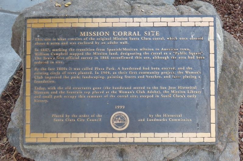
1. Mission Santa Clara Corral Marker
In 1847, marking the transition from Spanish/Mexican mission to American town, William Campbell mapped the Mission land, designating the corral as a “Public Square”. The Town’s first official survey in 1866 reconfirmed this use, although the area had been reduced in size.
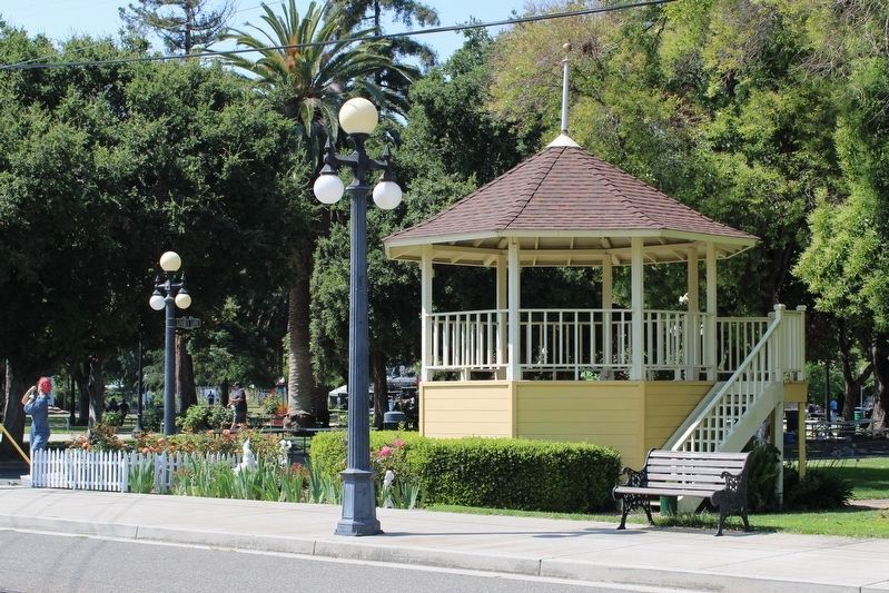
By the late 1800s it was called Plaza Park. A bandstand had been erected, and the existing circle of trees planted. In 1904, as their first community project, the Women’s Club improved the park, landscaping, painting fences and benches, and later placing a foundation.
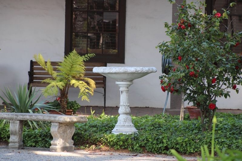
Today, with the old structures gone (the bandstand moved to the San Jose Historical Museum and the fountain top placed at the Women’s Club Adobe), the Mission Library and small park occupy this remnant of the corral site; steeped in Santa Clara’s early history.
Erected 1999 by Santa Clara Historical and Landmark Commission.
Topics. This historical marker is listed in these topic lists: Hispanic Americans • Notable Places. A significant historical year for this entry is 1847.
Location. 37° 20.851′ N,
this page online

Regionally, this marker is in the San Francisco Bay Area, in Silicon Valley, and on the Coast Ranges. It is also on the American Pacific Coast. Globally, it is in North America, on the Ring of Fire, on the Pacific Rim, in the Western Hemisphere, in the Western World, and in the Anglosphere. Historically, it finds itself in what was once New Spain and also Mexico’s Alta California.
Other nearby markers. At least 8 other markers are within walking distance of this marker: Dr. Henry Warburton House (about 300 feet away, measured in a direct line); Luis Arguello Home (about 300 feet away); St. Clare’s Parish (about 500 feet away); Landrum House (about 600 feet away); Elim Community Church (about 800 feet away); Old Downtown Santa Clara (approx. 0.2 miles away); Professor John J. Montgomery (approx. 0.2 miles
Photographed by Barry Swackhamer, February 16, 2012
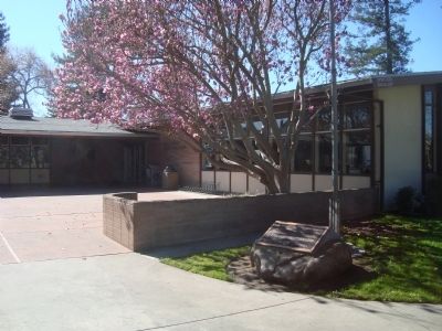
2. Mission Corral Site Marker
Photographed by Joseph Alvarado, April 12, 2022
3. Fountain top at the Women's Club Adobe
Photographed by Joseph Alvarado, June 24, 2023
4. Bandstand at History Park
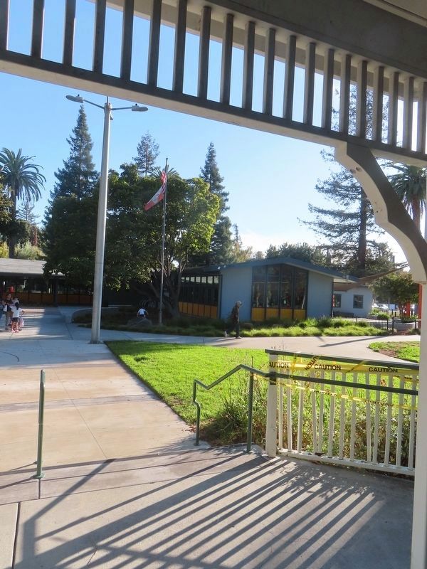
Photographed by Alice Mansell, October 1, 2026
5. View of marker by flagpole from the new bandstand
Credits. This page was last revised on October 2, 2026. It was originally submitted on February 23, 2012, by Barry Swackhamer of Brentwood, California. This page has been viewed 1,020 times since then and 57 times this year. Photos: 1. submitted on October 2, 2026, by Alice Mansell of Los Altos, California. 2. submitted on February 23, 2012, by Barry Swackhamer of Brentwood, California. 3. submitted on April 16, 2022, by Joseph Alvarado of Livermore, California. 4. submitted on June 26, 2023, by Joseph Alvarado of Livermore, California. 5. submitted on October 2, 2026, by Alice Mansell of Los Altos, California. • Syd Whittle was the editor who published this page.
