Near Folkston in Charlton County, Georgia — The American South (South Atlantic)
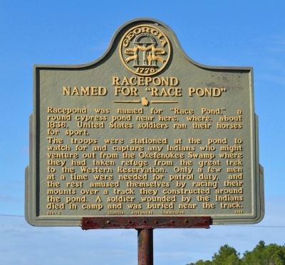
Racepond Named For "Race Pond"
The troops were stationed at the pond to watch for and capture any Indians who might venture out from the Okefenokee Swamp where they had taken refuge from the great trek to the Western Reservation. Only a few men at a time were needed for patrol duty, and the rest amused themselves by racing their mounts over a track they constructed around the pond. A soldier wounded by the Indians died in camp and was buried near the track.
Erected 1958 by Georgia Historical Commission. (Marker Number 024-6.)
Topics and series. This historical marker is listed in this topic list: Wars, US Indian. In addition, it is included in the Georgia Historical Society series list. A significant historical year for this entry is 1836.
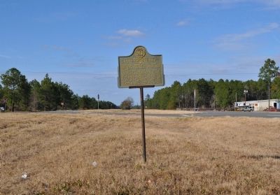
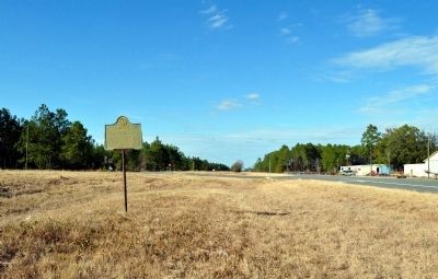
Location. 30° 58.758′ N, 82° 7.236′ W. Marker is near Folkston, Georgia, in Charlton County. Marker is on Jacksonville Highway (U.S. 1) 1.3 miles south of Georgia Route 121, in the median. Touch for map. Marker is in this post office area: Folkston GA 31537, United States of America. Touch for directions.
Other nearby markers. At least 8 other markers are within 14 miles of this marker, measured as the crow flies. Center Village or Centerville (approx. 12.2 miles away); Okefenokee Swamp (approx. 12.2 miles away); Central Dixie Highway (approx. 12.3 miles away); Charlton County (approx. 12.3 miles away); Henry Roddenberry (approx. 12.3 miles away); Sardis Church (approx. 13.4 miles away); Vereen Bell Highway (approx. 13˝ miles away); Trader's Hill (Fort Alert) (approx. 13.6 miles away). Touch for a list and map of all markers in Folkston.
Credits. This page was last revised on June 16, 2016. It was originally submitted on February 27, 2012, by David Seibert of Sandy Springs, Georgia. This page has been viewed 713 times since then and 29 times this year. Photos: 1, 2, 3. submitted on February 27, 2012, by David Seibert of Sandy Springs, Georgia. • Craig Swain was the editor who published this page.


