Wall Township in Monmouth County, New Jersey — The American Northeast (Mid-Atlantic)
The Manasquan Floodplain
Floodplains – Coastal Habitats
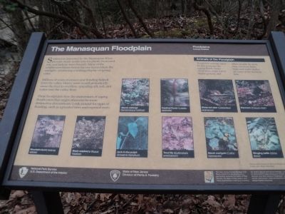
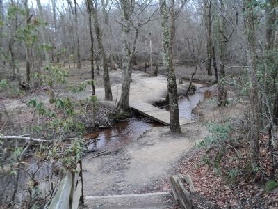
Sediments deposited by the Manasquan River provide moist, fertile soils for plants. Ironwood, ash, and hickory trees flourish. Many of the wildflowers bloom before the tree leaves block the sunlight – producing a striking display of spring color.
Millions of years of erosion and flooding helped form the valley. Heavy rains would periodically cause the river to overflow, spreading silt, soil, and water onto the valley floor.
These floodplains slow the momentum of raging floodwaters that might otherwise be more destructive downstream. Look around for signs of flooding, such as uprooted trees and exposed roots.
< Sidebar : >
Animals of the Floodplain
To survive, animals must be able to escape the raging floods. Some climb trees, some run to higher ground, and others simply fly away. Deer raccoons, birds, frogs, and water snakes are some of the residents here.
Erected by State of New Jersey, Division of Parks & Forestry, National Park Service.
Topics. This historical marker is listed in this topic list: Natural Features.
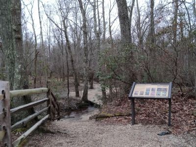
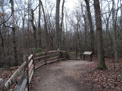
Location. 40° 9.342′ N, 74° 7.746′ W. Marker is in Wall Township, New Jersey, in Monmouth County. Marker can be reached from County Route 524 , on the left when traveling west. Marker is located on the Manasquan Floodplain Trail in Allaire State Park. Touch for map. Marker is in this post office area: Farmingdale NJ 07727, United States of America. Touch for directions.
Other nearby markers. At least 8 other markers are within walking distance of this marker. Millpond (within shouting distance of this marker); A Salute to the Boy Scouts of America (about 500 feet away, measured in a direct line); Allaire Village (about 600 feet away); The Furnace: heart of the village (about 700 feet away); Charcoal Depot: warehouse & staging area (about 700 feet away); Church (about 800 feet away); Allentown Station (approx. 0.2 miles away); PRR Watchman’s Shanty (approx. ¼ mile away). Touch for a list and map of all markers in Wall Township.
More about this marker. Photographs, courtesy of Shaun O’Rourke, Joseph Lomax, and Allaire State Park, of plants and animals found in the Manasquan Floodplain appear on the marker. These include Skunk cabbage (Symplocarpus Foetidus); Cardinal flower (Lobelia cardinalis); White-tail deer (Ococoileus virginianus); Raccoon (Procyon lotor); Mountain-laurel (Kalmia latifolia); Black raspberry (Rupus hispidus); Jack-in-the-pulpit (Arisaema triphyllum); Trout lily (Erythronium); Marsh marigold (Caltha leptosepala); and Stinging nettle (Utrica dioica).
Also see . . .
New Jersey Coastal Heritage Trail Route. National Park Service website. (Submitted on March 3, 2012, by Bill Coughlin of Woodland Park, New Jersey.)
Credits. This page was last revised on February 7, 2023. It was originally submitted on March 3, 2012, by Bill Coughlin of Woodland Park, New Jersey. This page has been viewed 489 times since then and 7 times this year. Photos: 1, 2, 3, 4, 5. submitted on March 3, 2012, by Bill Coughlin of Woodland Park, New Jersey.
