
Thorold in Niagara Region, Ontario — Central Canada (North America)
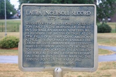
Laura Ingersoll Secord
1775 - 1868

Photographed by Kevin Westell, April 26, 2025
1. Laura Ingersoll Secord Marker
The marker was recently re-painted, perhaps when the park was renovated in 2021.
Who set out from her home in Queenston early in the morning of June 22, 1813, to walk an arduous nineteen miles to warn the British outpost at DeCew Falls of an impending American attack. The information enabled the local British commander, Lieutenant James Fitzgibbon, and his detachment, to surprise and capture the entire enemy force at the Battle of Beaver Dams on June 24, 1813, thereby marking the turning point in the War of 1812.
To perpetuate her memory.
Topics. This historical marker is listed in these topic lists: Patriots & Patriotism • War of 1812 • Women. A significant historical date for this entry is June 22, 1763.
Location. 43° 7.37′ N, 79° 12.08′ W. Marker is in Thorold, Ontario, in Niagara Region. It is on Sullivan Avenue just south of Towpath Road, on the right when traveling east. This historic marker is located in Beaversdam Battlefield Park, near the north entrance to the park, along a walking trail that runs north to south through the park, just southwest of the downtown business district. Touch for map. Marker is in this post office area: Thorold ON L2V 0A7, Canada. Touch for directions.

Regionally,
this page online
Other nearby markers. At least 8 other markers are within walking distance of this marker: Beaver Dams (a few steps from this marker); Battle of Beaverdams Park (a few steps from this marker); Arthur S. Whelan (within shouting distance of this marker); a different marker also named Beaver Dams (within shouting distance of this marker); In Memory of Unknown American Soldiers (within shouting distance of this marker); City of Thorold Time Capsule (within shouting distance of this marker); In Memory of John Bean, Ph.D., M.D. (within shouting distance of this marker); Thorold NS&T Station (within shouting distance of this marker). Touch for a list and map of all markers in Thorold.
Related markers. Click here for a list of markers that
Photographed by Dale K. Benington, July 28, 2011
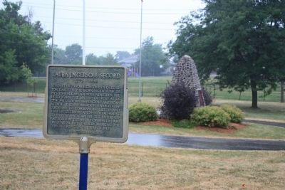
2. Laura Ingersoll Secord Marker
Also see . . .
1. Laura Secord. This is a link to information provided by Wikipedia, the free encyclopedia. (Submitted on March 11, 2012, by Dale K. Benington of Toledo, Ohio.)
2. Biography of Laura Secord. This is a link to information provided by "The War of 1812 Website." (Submitted on March 11, 2012, by Dale K. Benington of Toledo, Ohio.)
3. Ingersoll, Laura (Secord). This is a link to information provided by the "Dictionary of Canadian Biography Online." (Submitted on March 11, 2012, by Dale K. Benington of Toledo, Ohio.)
Photographed by Dale K. Benington, July 28, 2011
3. Laura Ingersoll Secord Marker
View of the historical marker in the foreground, with a view of the battle of "Beaver Dams" historical marker in the background.
Photographed by Kevin Westell, April 26, 2025
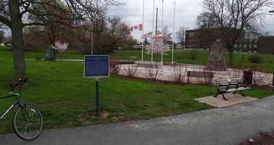
4. Laura Ingersoll Secord - Marker in context
Photo faces south (left) and south-west. Photo shows proximity to an east-west paved path, the tall stone cairn, right (titled "Beaver Dams") and the shorter concrete cairn, back left (also titled "Beaver Dams"). (There is another taller, point cairn further left out-of-frame on the path; it is a "time capsule".)
Photographed by Dale K. Benington, July 28, 2011
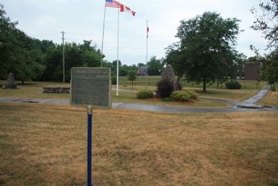
5. Laura Ingersoll Secord Marker
View of the historical marker with several markers and memorials to Beaver Dams in the background.
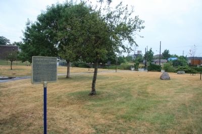
Photographed by Dale K. Benington, July 28, 2011
6. Laura Ingersoll Secord Marker
View of the historical marker looking north, towards the entrance to "The Beaverdams Battlefield Park."
Credits. This page was last revised on July 2, 2025. It was originally submitted on March 10, 2012, by Dale K. Benington of Toledo, Ohio. This page has been viewed 838 times since then and 22 times this year. Photos: 1. submitted on June 24, 2025, by Kevin Westell of St. Catharines, Ontario. 2, 3. submitted on March 11, 2012, by Dale K. Benington of Toledo, Ohio. 4. submitted on June 24, 2025, by Kevin Westell of St. Catharines, Ontario. 5, 6. submitted on March 11, 2012, by Dale K. Benington of Toledo, Ohio.
