Carroll Township near Shermans Dale in Perry County, Pennsylvania — The American Northeast (Mid-Atlantic)
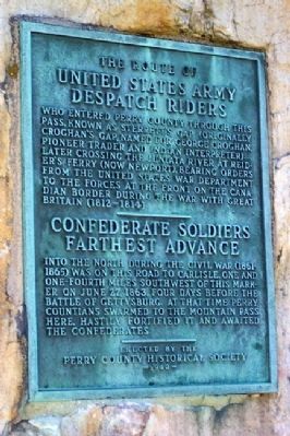
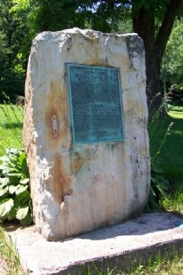
The Route of United States Army Despatch Riders / Confederate Soldiers Farthest Advance
Inscription.
The Route of United States Army Despatch Riders
who entered Perry County through this pass, known as Sterrett's Gap (originally Croghan's Gap, named for George Croghan, pioneer trader and Indian intepreter), later crossing the Juniata River at Reider's Ferry (now Newport), bearing orders from the United States War Department to the forces at the front of the Canadian border during the war with Great Britain (1812-1814).
———————
Confederate Soldiers Farthest Advance
into the North during the Civil War (1861-1865) was on this road to Carlisle, one and one-fourth miles southwest of this marker on June 27, 1863, four days before the Battle of Gettysburg. At that time Perry Countians swarmed to the mountain pass here, hastily fortified it and awaited the Confederates.
Erected 1940 by Perry County Historical Society.
Topics. This historical marker is listed in these topic lists: Environment • Settlements & Settlers • War of 1812 • War, US Civil. A significant historical month for this entry is June 1658.
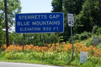
Location. 40° 17.72′ N, 77° 7.995′ W. Marker is near Shermans Dale, Pennsylvania, in Perry County. It is in Carroll Township. Marker is on Spring Road (Pennsylvania Route 34) near Sunnyside Drive, on the right when traveling south. The marker is at Sterrett's Gap. Touch for map. Marker is at or near this postal address: 833 Mountainview Rd, Shermans Dale PA 17090, United States of America. Touch for directions.
Other nearby markers. At least 8 other markers are within 6 miles of this marker, measured as the crow flies. The Farthest North (approx. 1.3 miles away); Lupfer's Grove (approx. 4.1 miles away); Veterans Memorial (approx. 4.1 miles away); Stony Ridge Convention (approx. 4.6 miles away); William Bigler (approx. 4.7 miles away); Dromgold Farm (approx. 4.7 miles away); Reformed Presbyterian Church (approx. 5 miles away); John Bannister Gibson (approx. 5.7 miles away). Touch for a list and map of all markers in Shermans Dale.
Credits. This page was last revised on February 7, 2023. It was originally submitted on March 18, 2012, by William Fischer, Jr. of Scranton, Pennsylvania. This page has been viewed 1,291 times since then and 80 times this year. Photos: 1, 2, 3, 4. submitted on March 18, 2012, by William Fischer, Jr. of Scranton, Pennsylvania.


