Vonore in Monroe County, Tennessee — The American South (East South Central)
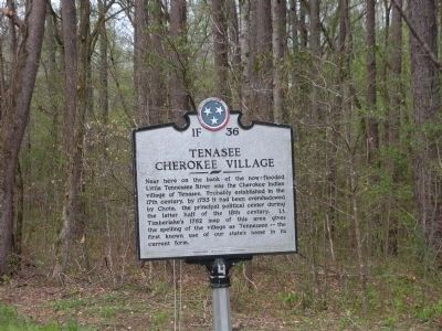
Tenasee Cherokee Village
Photographed by Cory Mills, March 24, 2012
1. Tenasee Cherokee Village Marker
Erected by Tennessee Historical Commission. (Marker Number 1F 36.)
Topics and series. This historical marker is listed in this topic list: Indigenous Peoples and Communities. In addition, it is included in the Tennessee Historical Commission series list. A significant historical year for this entry is 1753.
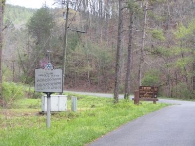
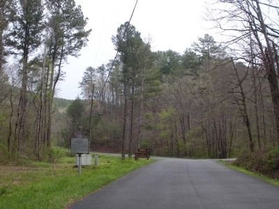
Location. 35° 31.976′ N, 84° 6.313′ W. Marker is in Vonore, Tennessee, in Monroe County. It is at the intersection of Citico Road and Smokey Branch Road, on the left when traveling east on Citico Road. Touch for map. Marker is in this post office area: Vonore TN 37885, United States of America. Touch for directions.

Regionally, this marker is in East Tennessee. It is also in the American South, specifically
this page online
Other nearby markers. At least 8 other markers are within 8 miles of this marker, measured as the crow flies: Chilhowee (approx. 6.2 miles away); Cherokee Heritage Trails (approx. 7 miles away); Unicoi Turnpike Trail (approx. 7 miles away); Overhill Fur & Hide Trade (approx. 7 miles away); Fort Loudon (approx. 7.1 miles away); Fort Loudoun (approx. 7.1 miles away); Welcome to Fort Loudoun State Historic Area (approx. 7.2 miles away); a different marker also named Unicoi Turnpike Trail (approx. 7.2 miles away). Touch for a list and map of all markers in Vonore.
Another marker is no longer nearby. Alleghany Springs (was approx. 5½ miles away but has been confirmed missing).
Photographed by Cory Mills, March 24, 2012
2. Tenasee Cherokee Village Marker
Photographed by Cory Mills, March 24, 2012
3. Tenasee Cherokee Village Marker
Credits. This page was last revised on June 16, 2016. It was originally submitted on March 26, 2012, by Cory Mills of Madisonville, Tennessee. This page has been viewed 2,023 times since then and 79 times this year. Last updated on March 28, 2012, by Cory Mills of Madisonville, Tennessee. Photos: 1, 2, 3. submitted on March 26, 2012, by Cory Mills of Madisonville, Tennessee. • Bernard Fisher was the editor who published this page.
