Niagara Falls in Niagara County, New York — The American Northeast (Mid-Atlantic)
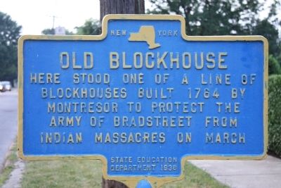
Old Blockhouse
blockhouses built 1764 by
Montresor to protect the
Army of Bradstreet from
Indian massacres on march
Erected 1938 by State Education Department.
Topics. This historical marker is listed in these topic lists: Colonial Era • Forts and Castles • Native Americans. A significant historical year for this entry is 1764.
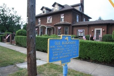
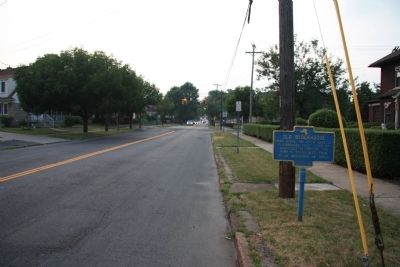
Location. 43° 5.449′ N, 79° 2.727′ W. Marker is in Niagara Falls, New York, in Niagara County. Marker is on Portage Road south of Ferry Avenue, on the right when traveling north. This historic marker is located in the middle of the block, between Ferry Avenue and Byrd Avenue. Touch for map. Marker is at or near this postal address: 495 Portage Road, Niagara Falls NY 14303, United States of America. Touch for directions.
Other nearby markers. At least 8 other markers are within walking distance of this marker. Thomas V. Welch (approx. ¼ mile away); Portage Road (approx. ¼ mile away); Holy Trinity Roman Catholic Church Complex (approx. 0.3 miles away); Historic Falls Portage (approx. 0.3 miles away); Annie Edson Taylor (approx. 0.4 miles away); Carlisle D. Graham (approx. 0.4 miles away); Oakwood Cemetery (approx. 0.4 miles away); a different marker also named Portage Road (approx. 0.6 miles away). Touch for a list and map of all markers in Niagara Falls.
Credits. This page was last revised on June 16, 2016. It was originally submitted on April 13, 2012, by Dale K. Benington of Toledo, Ohio. This page has been viewed 850 times since then and 32 times this year. Photos: 1, 2, 3. submitted on April 13, 2012, by Dale K. Benington of Toledo, Ohio.


