Near Bar Harbor in Hancock County, Maine — The American Northeast (New England)
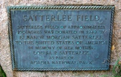
Satterlee Field
Photographed by William Fischer, Jr., September 21, 2011
1. Satterlee Field Marker
100 acres was donated in 1949 by
Eleanor Morgan Satterlee
to the United States of America
in memory of her mother,
Louisa P. Satterlee
as part of
Acadia National Park
Erected by National Park Service.
Topics. This historical marker is listed in this topic list: Natural Features. A significant historical year for this entry is 1949.
Location. 44° 19.762′ N, 68° 11.027′ W. Marker is near Bar Harbor, Maine, in Hancock County. It can be reached from Park Loop Road. Marker is near the stairway leading onto Sand Beach, off Park Loop Road in Acadia National Park. Touch for map. Marker is at or near this postal address: 1254 Park Loop Rd, Bar Harbor ME 04609, United States of America. Touch for directions.

Regionally, this marker is on Mount Desert Island and in Downeast Maine. It is also in the American Northeast, in New England, and on the Eastern Seaboard. Globally, it is in the North Atlantic Region, North America, the Great North Woods, the Western Hemisphere, the Western World, and the Anglosphere. Historically, it finds itself in what was once the Viceroyalty of New
this page online
Other nearby markers. At least 8 other markers are within walking distance of this marker: Sand Beach (here, next to this marker); Unusual Pocket Beach (here, next to this marker); Secrets of the Sand (here, next to this marker); What Do Park Rangers Do? (approx. 0.6 miles away); Icy Depths (approx. 0.6 miles away); Sounds of the Sea (approx. 0.6 miles away); Thunder Hole Ranger Station (approx. 0.6 miles away); Thunder Hole (approx. 0.7 miles away). Touch for a list and map of all markers in Bar Harbor.
Also see . . . Acadia National Park. (Submitted on April 14, 2012, by William Fischer, Jr. of Reynoldsburg, Ohio.)
Photographed by Bill Coughlin, July 11, 2017
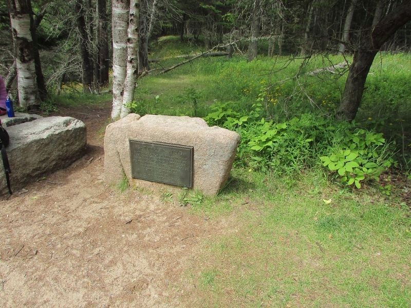
2. Satterlee Field Marker
Photographed by William Fischer, Jr., September 21, 2011
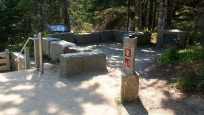
3. Satterlee Field Marker
Credits. This page was last revised on July 13, 2017. It was originally submitted on April 14, 2012, by William Fischer, Jr. of Reynoldsburg, Ohio. This page has been viewed 894 times since then and 42 times this year. Photos: 1. submitted on April 14, 2012, by William Fischer, Jr. of Reynoldsburg, Ohio. 2. submitted on July 11, 2017, by Bill Coughlin of Woodland Park, New Jersey. 3. submitted on April 14, 2012, by William Fischer, Jr. of Reynoldsburg, Ohio.
