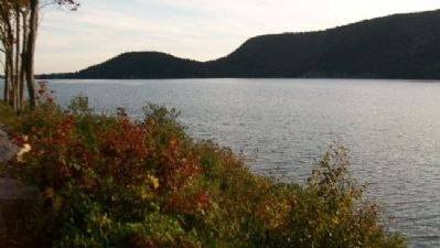
Near Northeast Harbor in Hancock County, Maine — The American Northeast (New England)
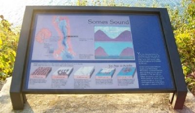
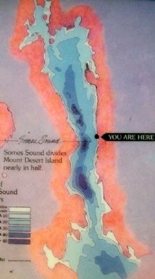
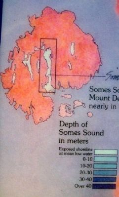
Somes Sound
You are standing beside the only fjord on the east coast of the United States. A fjord is a long, deep, and narrow valley carved by glaciers and flooded by the sea.
At this narrow place between Acadia and Norumbega Mountains, a concentrated ice flow cut deep into the granite bedrock - 150 feet (46 m) below the present water level. At the mouth of Somes Sound, where the glacier deposited much gravel and rocky debris, the water is relatively shallow.
Erected by National Park Service.
Topics. This historical marker is listed in this topic list: Natural Features.
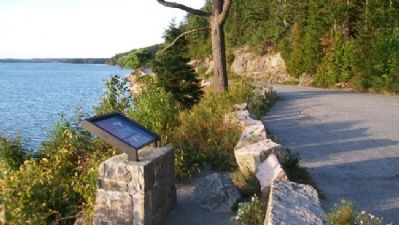
Location. 44° 19.104′ N, 68° 18.373′ W. Marker is near Northeast Harbor, Maine, in Hancock County. Marker is on Sargeant Drive, on the right when traveling south. Marker is at a small roadside pullout. Touch for map. Marker is in this post office area: Northeast Harbor ME 04662, United States of America. Touch for directions.
Other nearby markers. At least 8 other markers are within 3 miles of this marker, measured as the crow flies. Seawater Bay (a few steps from this marker); Carriage Roads - Building the Roads (approx. 1.1 miles away); Joseph T. Musetti Jr. Veterans Memorial Park (approx. 2 miles away); Carriage Roads - The Gate Lodges (approx. 2.6 miles away); Gateway to Acadia (approx. 2.7 miles away); Drink in the View (approx. 2.8 miles away); Granite Foundations (approx. 2.8 miles away); Glacial Freight (approx. 3.1 miles away). Touch for a list and map of all markers in Northeast Harbor.
More about this marker. Marker is part of Acadia National Park interpretive wayside exhibits.
Also see . . . Acadia National Park. National Park service website entry (Submitted on April 15, 2012, by William Fischer, Jr. of Scranton, Pennsylvania.)
Credits. This page was last revised on December 21, 2021. It was originally submitted on April 15, 2012, by William Fischer, Jr. of Scranton, Pennsylvania. This page has been viewed 653 times since then and 12 times this year. Photos: 1, 2, 3, 4, 5. submitted on April 15, 2012, by William Fischer, Jr. of Scranton, Pennsylvania.
