Locust Grove in Orange County, Virginia — The American South (Mid-Atlantic)
Battle of the Wilderness
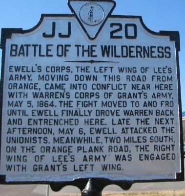
Photographed by Craig Swain, February 16, 2008
1. Battle of the Wilderness Marker
Erected 1929 by Conservation & Development Commission. (Marker Number JJ-20.)
Topics and series. This historical marker is listed in this topic list: War, US Civil. In addition, it is included in the Virginia Department of Historic Resources (DHR) series list. A significant historical month for this entry is May 1800.
Location. Marker is missing. It was located near 38° 18.864′ N, 77° 46.146′ W. Marker was in Locust Grove, Virginia, in Orange County. It was on Constitution Highway (State Highway 20), on the right when traveling west. Touch for map. Marker was at or near this postal address: 34477 Constitution Highway, Locust Grove VA 22508, United States of America. Touch for directions.

Regionally, this
this page online
Other nearby markers. At least 8 other markers are within walking distance of this location: A different marker also named Battle of the Wilderness (approx. half a mile away); The Culpeper Mine Road (approx. half a mile away); The Confederate Line (approx. 0.6 miles away); “A Wild, Wicked Roar” (approx. 0.6 miles away); The Confederate Defense (approx. 0.6 miles away); a different marker also named "A Wild, Wicked Roar" (approx. 0.6 miles away); The Apperson Family and Lake of the Woods (approx. 0.6 miles away); 140th New York State Vols. (approx. 0.7 miles away). Touch for a list and map of all markers in Locust Grove.
Also see . . .
1. Fredericksburg & Spotsylvania National Military Park. National
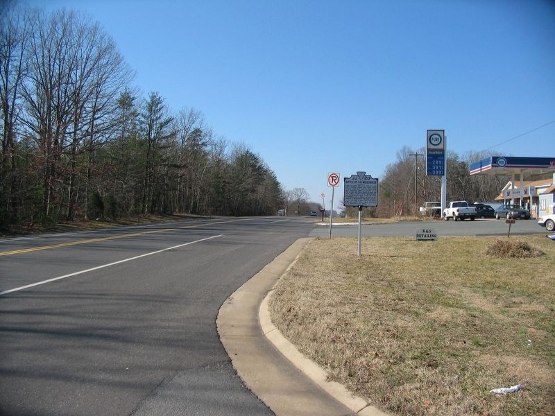
Photographed by Craig Swain, February 16, 2008
2. Battle of the Wilderness Marker
The point of view is looking west down Constitution Highway (the old Orange Turnpike) in the direction from which Ewell's Corps arrived.
2. The Battle of the Wilderness. Resource page for the Wilderness. Links to copies of official reports. (Submitted on February 17, 2008, by Craig Swain of Leesburg, Virginia.)
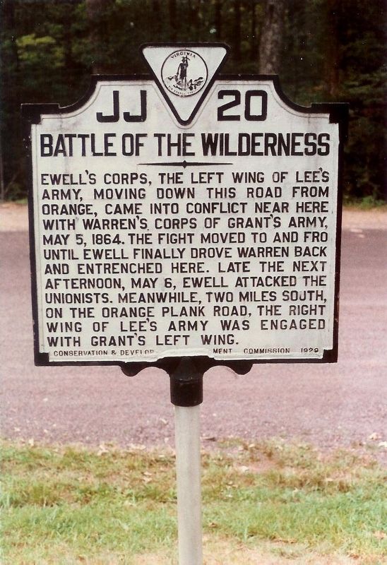
Photographed by Mike Stroud, 1993
3. Battle of the Wilderness Marker
Compare the background in this photo to those taken in 2007.
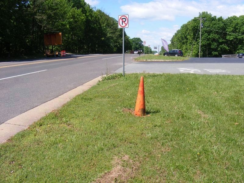
Photographed by Pete Payette, May 8, 2017
4. Battle of the Wilderness Marker (missing)
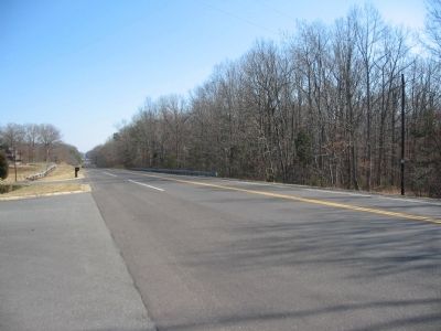
Photographed by Craig Swain, February 16, 2008
5. East Down the Orange Turnpike
Looking east from the marker location, down the modern Constitution Highway, in the direction of Warren's Federal Corps line of march. Warren's lead elements started to skirmish here with Ewell's lead troops. That skirmish developed into a full blown battle. In turn that battle beget an eleven-month campaign ending at Appomattox.
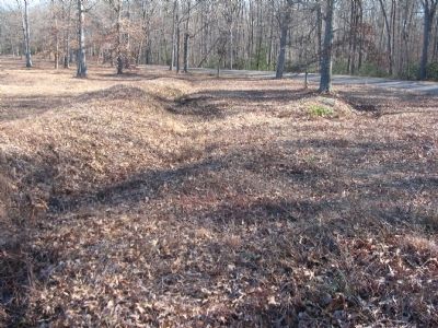
Photographed by Craig Swain, February 16, 2008
6. Ewell's Trenches
Trenches extend throughout the surrounding area. The best preserved are on the National Park Service ground, however. And unfortunately many were lost due to erosion, effects of time, and development. These trenches, just under a mile east of the marker, were used by Ewell's Corps on May 5-6, 1864.
Credits. This page was last revised on September 1, 2017. It was originally submitted on February 17, 2008, by Craig Swain of Leesburg, Virginia. This page has been viewed 1,976 times since then and 39 times this year. Photos: 1, 2. submitted on February 17, 2008, by Craig Swain of Leesburg, Virginia. 3. submitted on November 23, 2008, by Mike Stroud of Bluffton, South Carolina. 4. submitted on May 8, 2017, by Pete Payette of Orange, Virginia. 5, 6. submitted on February 17, 2008, by Craig Swain of Leesburg, Virginia.
