Near Ararat in Patrick County, Virginia — The American South (Mid-Atlantic)
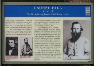
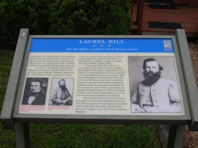
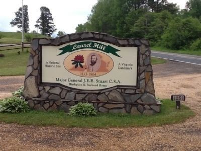
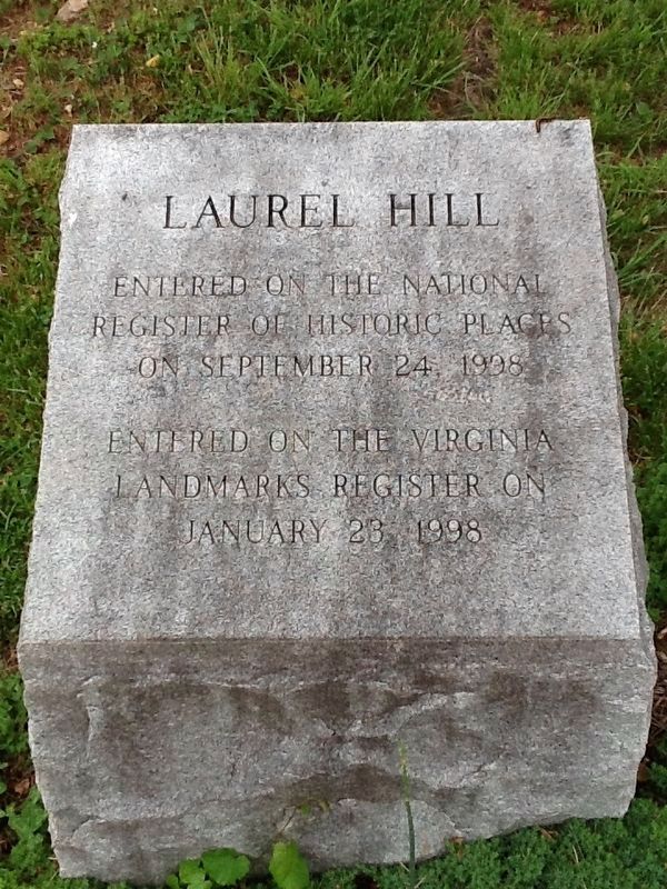
Laurel Hill
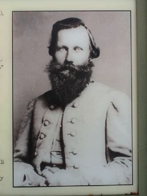
The Birthplace of James Ewell Brown Stuart
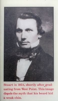
"Jeb" Stuart attended Emory and Henry College in southwestern Virginia (1848-50) and the United States Military Academy at West Point, New York (1850-54). After serving as an officer in the U.S. cavalry in Texas and Kansas (1854-61), and assisting in the capture of John Brown at Harpers Ferry in 1859, he resigned his commission when Virginia seceded in 1861.
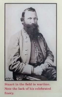
As trhe commander of Gen. Robert E. Lee's cavalry in the Army of Northern Virginia during the Civil War, Stuart expanded the contribution of the mounted arm as the "eyes and ears" of the army. He achieved fame for the first "Ride Around McLellan" during the Seven Days' Battles east of Richmond, temporarily commanded Jackson's corps after Stonewall fell wounded at Chancelorsville, and thoroughly dominated the Union cavalry for most of his career. Stuart was mortally wounded on May 11,1864, at the Battle of Yellow Tavern, died in Richmond the next day, and is buried there at Hollywood Cemetery.
Two of his brothers, also born at Laurel Hill, likewise served the Confederacy during the war. William Alexander Stuart operated the alkali works in Saltville, where while John Dabney Stuart served as a surgeon in the 54th Virginia Infantry Regiment.
Erected by Virginia Civil War Trails.
Topics and series. This historical marker is listed in this topic list: War, US Civil. In addition, it is included in the Virginia Civil War Trails series list. A significant historical month for this entry is February 1585.
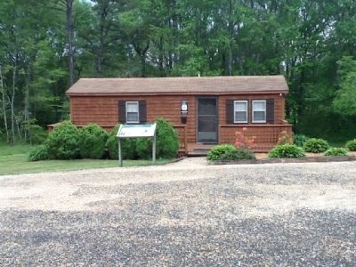
Location. 36° 33.7′ N, 80° 33.18′ W. Marker is near Ararat, Virginia, in Patrick County. Marker is on Ararat Highway (County Route 773), on the right when traveling south. Located in from of Laurel Hill visitors center. Touch for map. Marker is at or near this postal address: 1091 Ararat Hwy, Ararat VA 24053, United States of America. Touch for directions.
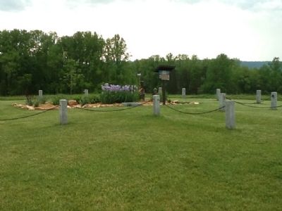
Other nearby markers. At least 8 other markers are within walking distance of this marker. "Fields Of Valor" (here, next to this marker); Stuart's Birthplace (within shouting distance of this marker); a different marker also named Laurel Hill (within shouting distance of this marker); Historic Roadbed (within shouting distance of this marker); The "Lee" Tree (about 500 feet away, measured in a direct line); "Stuart the Raider" (about 500 feet away); "Stuart the Scout" (about 500 feet away); "Stuart the Commander" (about 500 feet away). Touch for a list and map of all markers in Ararat.
Credits. This page was last revised on November 21, 2016. It was originally submitted on April 22, 2012, by Michael C. Wilcox of Winston-Salem, North Carolina. This page has been viewed 830 times since then and 22 times this year. Photos: 1, 2, 3, 4, 5, 6, 7, 8. submitted on April 22, 2012, by Michael C. Wilcox of Winston-Salem, North Carolina. 9. submitted on November 21, 2016, by Michael C. Wilcox of Winston-Salem, North Carolina. • Craig Swain was the editor who published this page.
