Beech Bottom in Brooke County, West Virginia — The American South (Appalachia)
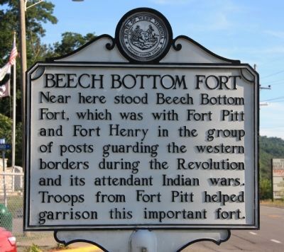
Beech Bottom Fort
Topics and series. This historical marker is listed in these topic lists: Forts and Castles • War, US Revolutionary • Wars, US Indian. In addition, it is included in the West Virginia Archives and History series list.
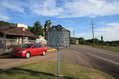
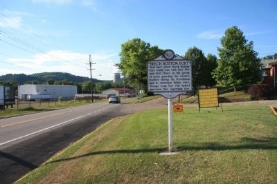
Location. 40° 13.62′ N, 80° 39.181′ W. Marker is in Beech Bottom, West Virginia, in Brooke County. Marker is at the intersection of West Virginia Route 2 and Park Avenue, on the right when traveling south on State Route 2. This historic marker is located on the opposite side of the highway from the Ohio River, on a small traffic island, across the street from a small community park and playground. Touch for map. Marker is in this post office area: Beech Bottom WV 26030, United States of America. Touch for directions.
Other nearby markers. At least 8 other markers are within 4 miles of this marker, measured as the crow flies. Beech Bottom Iraq War Veterans Memorial (within shouting distance of this marker); Beech Bottom, W.V. World War II Honor Roll (within shouting distance of this marker); West Virginia Flying Corps (approx. half a mile away); Bethany Turnpike Tunnels (approx. 3.1 miles away); Waugh Flour Mills (approx. 3.1 miles away); Brooke County / Ohio County (approx. 3.3 miles away); Isaac H. Duval (approx. 3.4 miles away); Isaac Duvall and Company (approx. 3.4 miles away). Touch for a list and map of all markers in Beech Bottom.
Credits. This page was last revised on June 8, 2020. It was originally submitted on April 27, 2012, by Dale K. Benington of Toledo, Ohio. This page has been viewed 1,100 times since then and 50 times this year. Photos: 1, 2, 3. submitted on April 28, 2012, by Dale K. Benington of Toledo, Ohio.


