Andrews in Georgetown County, South Carolina — The American South (South Atlantic)
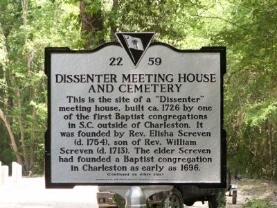
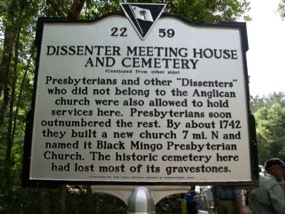
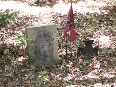
Dissenter Meeting House and Cemetery
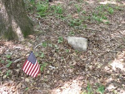
This is the site of a "Dissenter" meeting house, built ca. 1726 by one of the first Baptist congregations in S.C. outside of Charleston. It was founded by Rev. Elisha Screven (d. 1754). The elder Screven had founded a Baptist congregation in Charleston as early as 1696.
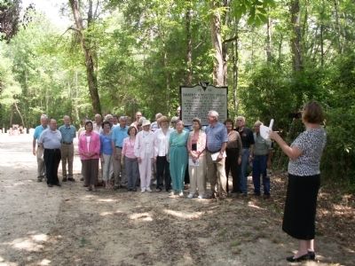
Erected 2012 by The First Baptist Church of Georgetown. (Marker Number 22-59.)
Topics. This historical marker is listed in these topic lists: Cemeteries & Burial Sites • Churches & Religion • Colonial Era. A significant historical year for this entry is 1726.
Location. Marker has been reported missing. It was located near 33° 28.875′ N, 79° 26.904′ W. Marker was in Andrews, South Carolina, in Georgetown County. Marker was on Pump House Landing Road, 1.4 miles west of Indian Hut Road, on the right when traveling north. The marker is located by the Black River. Touch for map. Marker was in this post office area: Andrews SC 29510, United States of America. Touch for directions.
Other nearby markers. At least 8 other markers are within 10 miles of this location, measured as the crow flies. Prince George Winyah Parish / Prince Frederick’s Parish (approx. 5 miles away); Early Settlers / Potatoe Ferry (approx. 5.4 miles away); Oak Grove Methodist Church (approx. 6.9 miles away); Georgetown County National Guard Memorial (approx. 7.2 miles away); Skirmish at Sampit Bridge (approx. 8.1 miles away); Sampit Methodist Church (approx. 8.1 miles away); Black Mingo Presbyterian Meeting House (approx. 8.4 miles away); Black Mingo – Willtown / Black Mingo Baptist Church (approx. 9.4 miles away). Touch for a list and map of all markers in Andrews.
Also see . . . Video of Dedication - - "FBC Historical Marker April 28, 2012" ::. (Submitted on May 11, 2012, by Al Wolf of Veedersburg, Indiana.)
Additional commentary.
1. Missing
This marker has been reported as missing as on 3/30/2024.
— Submitted March 30, 2024, by Sharon F. Corey of Pawleys Island, South Carolina.
Credits. This page was last revised on March 30, 2024. It was originally submitted on April 29, 2012, by Anna Inbody of Columbia, South Carolina. This page has been viewed 1,523 times since then and 98 times this year. Last updated on March 30, 2024, by Sharon F. Corey of Pawleys Island, South Carolina. Photos: 1, 2, 3, 4, 5. submitted on April 29, 2012, by Anna Inbody of Columbia, South Carolina. • Bernard Fisher was the editor who published this page.
