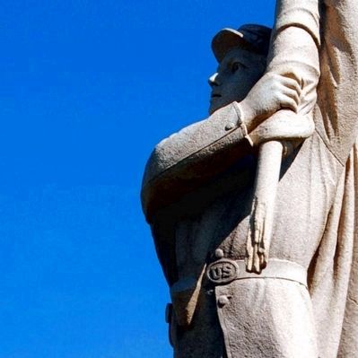
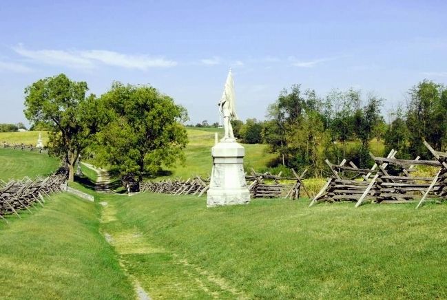
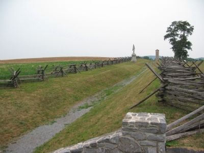
Near Sharpsburg in Washington County, Maryland — The American Northeast (Mid-Atlantic)
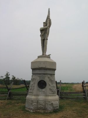
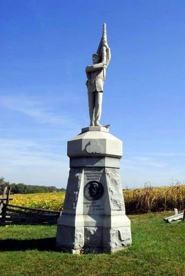
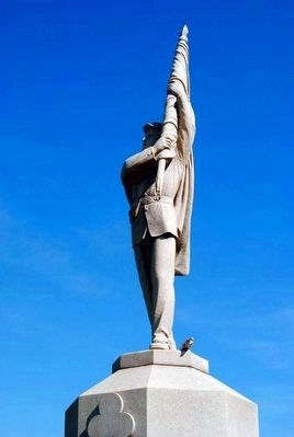
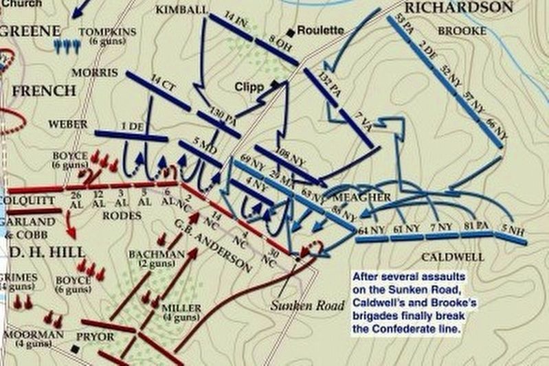
132nd Pennsylvania Volunteer Infantry
(Front):
132nd Pennsylvania
Volunteer Infantry
1 Brigade 3 Division 2 Corps
September 17, 1862
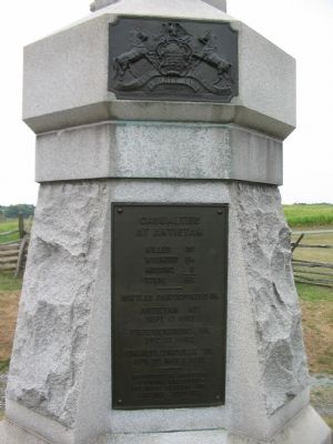
(Back):
at Antietam
Killed 30
Wounded 114
Missing 3
Total 152
Battles Participated in
Antietam MD.
Sept. 17, 1862
Fredericksburg VA.
Dec. 13, 1862
Chancellorsvile VA.
Apr. 30. May 3, 1863
Recruited in Montour
Wyoming Bradford
Columbia Carbon and
Luzerne Counties
Erected 1904 by Commonwealth of Pennsylvania.
Topics. This historical marker is listed in this topic list: War, US Civil. A significant historical date for this entry is September 17, 1862.
Location. 39° 28.245′ N, 77° 44.321′ W. Marker is near Sharpsburg, Maryland, in Washington County. Marker is on Bloody Lane, on the left when traveling east. Touch for map. Marker is in this post office area: Sharpsburg MD 21782, United States of America. Touch for directions.
Other nearby markers. At least 10 other markers are within walking distance of this marker. Jackson's Command (within shouting distance of this marker); Brigadier General George B. Anderson (within shouting distance of this marker); "The End of the Confederacy Was In Sight" (within shouting distance of this marker); Heaps Upon Heaps Were There in Death's Embrace (within shouting distance of this marker); A Simple Farm Lane Changed Forever (within shouting distance of this marker); "These Men Are Going to Stay Here" (within shouting distance of this marker); The 14th Indiana Infantry (about 300 feet away, measured in a direct line); 8th Ohio Regiment (about 300 feet away); Anderson’s Division, Longstreet’s Command (about 400 feet away); Richardson's Division, Second Army Corps (about 400 feet away). Touch for a list and map of all markers in Sharpsburg.
Regarding 132nd Pennsylvania Volunteer Infantry. This marker is included on the Sunken Road or Bloody Lane Virtual Tour by Markers see the Virtual tour link below to see the markers in sequence.
Also see . . . 132nd Pennsylvania Volunteer Infantry Monument. National Park Service site detailing the monument. (Submitted on February 18, 2008, by Craig Swain of Leesburg, Virginia.)
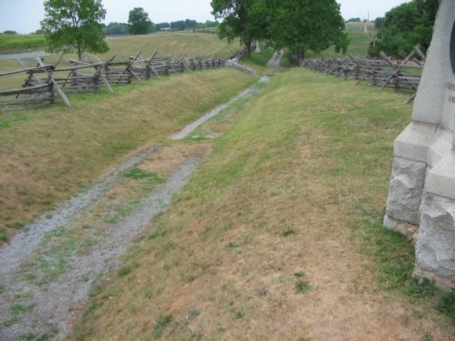
Photographed By Craig Swain, August 5, 2007
8. The Sunken Road Seen from the Base of the Monument
Note in the very upper right corner, the park Visitors Center is in frame. Just below it stands the guns of the 1st Rhode Island, Battery A. Once those guns came into action on the ridge, the Confederate position received enfilading fire.
via American Battlefield Trust, unknown
9. Sunken Road or Bloody Lane Virtual Tour by Markers.
A collection of markers interpreting the action of during the Battle of Antietam around the Sunken Road.
(Submitted on February 23, 2008, by Craig Swain of Leesburg, Virginia.)
Click for more information.
(Submitted on February 23, 2008, by Craig Swain of Leesburg, Virginia.)
Click for more information.
Credits. This page was last revised on April 3, 2022. It was originally submitted on February 18, 2008, by Craig Swain of Leesburg, Virginia. This page has been viewed 1,337 times since then and 18 times this year. Photos: 1, 2. submitted on February 18, 2008, by Craig Swain of Leesburg, Virginia. 3, 4, 5, 6. submitted on September 27, 2015, by Brian Scott of Anderson, South Carolina. 7, 8. submitted on February 18, 2008, by Craig Swain of Leesburg, Virginia. 9. submitted on April 3, 2022, by Larry Gertner of New York, New York.
