Sharpsburg in Washington County, Maryland — The American Northeast (Mid-Atlantic)
Andersonís Division, Longstreetís Command
Andersonís Division, Longstreetís Command
Maj. Gen. R.H. Anderson Commanding.
(September 17, 1862)
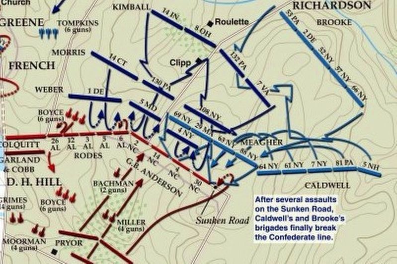
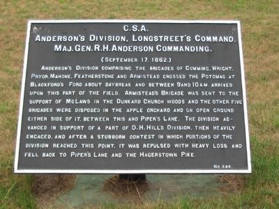
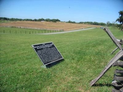
Anderson's Division comprising the brigades of Cumming, Wright, Pryor, Mahone, Featherstone, and Armistead crossed the Potomac at Blackford's Ford about daybreak and between 9 and 10 a.m. arrived upon this part of the field. Armistead's Brigade was sent to the support of McLaws in the Dunkard Church woods and the other five brigades were disposed in the apple orchard and on open ground either side of it, between this and Piper's Lane. The division advanced in support of a part of D.H. Hill's Division, then heavily engaged, and after a stubborn contest in which portions of the division reached this point, it was repulsed with heavy loss and fell back to Piper's Lane and the Hagerstown Pike.
Erected by Antietam Battlefield Board. (Marker Number 386.)
Topics and series. This historical marker is listed in this topic list: War, US Civil. In addition, it is included in the Antietam Campaign War Department Markers series list.
Location. 39° 28.207′ N, 77° 44.257′ W. Marker is in Sharpsburg, Maryland, in Washington County. Marker is on Richardson Avenue, on the left when traveling east. Touch for map. Marker is in this post office area: Sharpsburg MD 21782, United States of America. Touch for directions.
Other nearby markers. At least 8 other markers are within walking distance of this marker. Richardson's Division, Second Army Corps (a few steps from this marker); Second Army Corps (a few steps from this marker); a different marker also named Second Army Corps (within shouting distance of this marker); a different marker also named Second Army Corps (within shouting distance of this marker); 2nd Delaware (within shouting distance of this marker); Brigadier General George B. Anderson (within shouting distance of this marker); Jackson's Command (within shouting distance of this marker); 132nd Pennsylvania Volunteer Infantry (about 400 feet away, measured in a direct line). Touch for a list and map of all markers in Sharpsburg.
Regarding Andersonís Division, Longstreetís Command. This marker is included on the Sunken Road or Bloody Lane Virtual Tour by Markers see the Virtual tour link below to see the markers in sequence.
Related markers. Click here for a list of markers that are related to this marker. Anderson's Division in the Antietam Campaign.
Also see . . . Antietam Battlefield. National Park Service site. (Submitted on February 18, 2008, by Craig Swain of Leesburg, Virginia.)

via American Battlefield Trust, unknown
4. Sunken Road or Bloody Lane Virtual Tour by Markers.
A collection of markers interpreting the action of during the Battle of Antietam around the Sunken Road.
(Submitted on February 23, 2008, by Craig Swain of Leesburg, Virginia.)
Click for more information.
(Submitted on February 23, 2008, by Craig Swain of Leesburg, Virginia.)
Click for more information.
Credits. This page was last revised on April 3, 2022. It was originally submitted on February 18, 2008, by Craig Swain of Leesburg, Virginia. This page has been viewed 1,446 times since then and 39 times this year. It was the Marker of the Week September 16, 2012. Photos: 1. submitted on February 18, 2008, by Craig Swain of Leesburg, Virginia. 2. submitted on December 5, 2008, by Craig Swain of Leesburg, Virginia. 3. submitted on February 18, 2008, by Craig Swain of Leesburg, Virginia. 4. submitted on April 3, 2022, by Larry Gertner of New York, New York.


