Near Santa Fe in Santa Fe County, New Mexico — The American Mountains (Southwest)
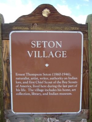
Seton Village
Photographed by Bill Kirchner, April 16, 2012
1. Seton Village Marker
Erected by New Mexico Historic Preservation Division.
Topics. This historical marker is listed in these topic lists: Arts, Letters, Music • Fraternal or Sororal Organizations • Indigenous Peoples and Communities • Settlements & Settlers.
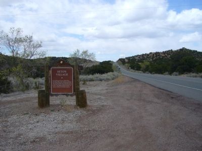
Location. Marker has been reported missing. It was located near 35° 36.374′ N, 105° 54.699′ W. Marker was near Santa Fe, New Mexico, in Santa Fe County. It was on Old Las Vegas Highway 0.1 miles north of Seton Village Road, on the right when traveling south. Touch for map. Marker was in this post office area: Santa Fe NM 87505, United States of America. Touch for directions.

Regionally, this marker was in Northern New Mexico. It was also in the American Southwest, in the Mountain West, and on the Santa Fe Trail Corridor. Globally, it was in North America,
this page online
Other nearby markers. At least 8 other markers are within 5 miles of this location, measured as the crow flies: A different marker also named Seton Village (here, next to this marker); Route 66 (approx. 3.6 miles away); Mexican Colonial House (approx. 4.2 miles away); The Artist's Garden (approx. 4.2 miles away); Kearny's Gap Bridge (approx. 4.2 miles away); Trade Transforms Art (approx. 4.2 miles away); National Park Service Southwest Regional Office (approx. 4.3 miles away); Santa Fe Trail - Road to Opportunity (approx. 4.3 miles away). Touch for a list and map of all markers in Santa Fe.
Photographed by Bill Kirchner, April 16, 2012
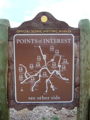
2. Rear of: Seton Village Marker
Photographed by Bill Kirchner, April 16, 2012
3. Seton Village Marker
Credits. This page was last revised on October 12, 2025. It was originally submitted on May 7, 2012, by Bill Kirchner of Tucson, Arizona. This page has been viewed 1,180 times since then and 53 times this year. Photos: 1, 2, 3. submitted on May 7, 2012, by Bill Kirchner of Tucson, Arizona. • Syd Whittle was the editor who published this page.
