Near Watrous in Mora County, New Mexico — The American Mountains (Southwest)
Santa Fe Trail
Photographed by Bill Kirchner, April 17, 2012
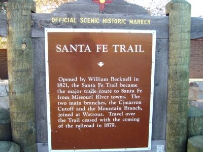
1. Santa Fe Trail Marker
Opened by William Becknell in 1821, the Santa Fe Trail became the major trade route to Santa Fe from Missouri River towns. The two main branches, the Cimarron Cutoff and the Mountain Branch, joined at Watrous. Travel over the Trail ceased with the coming of the railroad in 1879.
Erected by New Mexico Historic Preservation Division.
Topics and series. This historical marker is listed in these topic lists: Railroads & Streetcars • Roads & Vehicles. In addition, it is included in the Santa Fe Trail series list. A significant historical year for this entry is 1821.
Location. 35° 51.936′ N, 104° 52.749′ W. Marker is near Watrous, New Mexico, in Mora County. It is on Interstate 25 at milepost 374, on the right when traveling north. The marker is in the northbound rest area. Touch for map. Marker is in this post office area: Watrous NM 87753, United States of America. Touch for directions.

Regionally, this marker is in Northern New Mexico. It is also in the American Southwest, in the Mountain West, and on the Santa Fe Trail Corridor. Globally, it is in North America, the Rocky Mountains, the Western Hemisphere,
this page online
Other nearby markers. At least 8 other markers are within 7 miles of this marker, measured as the crow flies: A different marker also named Santa Fe Trail (within shouting distance of this marker); Fort Union National Monument 1851-1891 / Santa Fe Trail (approx. 1.4 miles away); Intersection of History (approx. 7 miles away); A New Community Sprouts Roots (approx. 7 miles away); From Indigenous Trail to International Highway (approx. 7 miles away); A Show of Strength (approx. 7 miles away); Tides of Change (approx. 7 miles away); Lasting View (approx. 7 miles away). Touch for a list and map of all markers in Watrous.
Photographed by Bill Kirchner, April 17, 2012
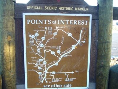
2. Santa Fe Trail Marker Reverse
Photographed by Bill Kirchner, April 17, 2012
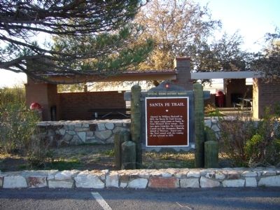
3. Santa Fe Trail Marker
Photographed by Bill Kirchner
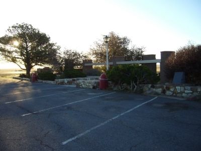
4. Santa Fe Trail Marker
The DAR marker is on the far right in the photo. The New Mexico State marker is on the far left under the tree.
Credits. This page was last revised on January 1, 2025. It was originally submitted on May 9, 2012, by Bill Kirchner of Tucson, Arizona. This page has been viewed 1,073 times since then and 44 times this year. Photos: 1, 2, 3, 4. submitted on May 9, 2012, by Bill Kirchner of Tucson, Arizona. • Syd Whittle was the editor who published this page.
