Tyrone in Texas County, Oklahoma — The American South (West South Central)
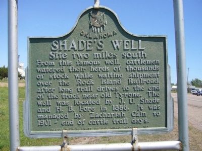
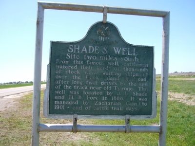
Shade's Well
Site two miles south
Erected 1957 by Oklahoma Historical Society and State Highway Commission.
Topics and series. This historical marker is listed in these topic lists: Agriculture • Settlements & Settlers. In addition, it is included in the Oklahoma Historical Society series list. A significant historical year for this entry is 1888.
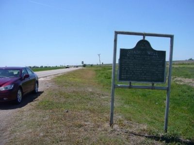
Location. 36° 57.035′ N, 101° 4.386′ W. Marker is in Tyrone, Oklahoma, in Texas County. Marker is at the intersection of U.S. 54 and County Highway D, on the left when traveling east on U.S. 54. Touch for map. Marker is in this post office area: Tyrone OK 73951, United States of America. Touch for directions.
Other nearby markers. At least 8 other markers are within 11 miles of this marker, measured as the crow flies. Panhandle Baptists (approx. half a mile away); Eureka (approx. 6.7 miles away); a different marker also named Eureka (approx. 6.7 miles away); Liberal Army Air Base Memorial (approx. 9.3 miles away in Kansas); Original Hand-Dug Well (approx. 9.9 miles away in Kansas); Graham–Hoeme Chisel Plow (approx. 10.1 miles away); Rock Island Lines (approx. 10.4 miles away in Kansas); Replica of the Statue of Liberty (approx. 10˝ miles away in Kansas).
Credits. This page was last revised on June 16, 2016. It was originally submitted on May 11, 2012, by Bill Kirchner of Tucson, Arizona. This page has been viewed 632 times since then and 21 times this year. Photos: 1, 2, 3. submitted on May 11, 2012, by Bill Kirchner of Tucson, Arizona. • Bernard Fisher was the editor who published this page.


