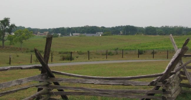
Near Sharpsburg in Washington County, Maryland — The American Northeast (Mid-Atlantic)
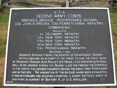
Second Army Corps
Brooke's Brigade, Richardson's Division
Second Army Corps,
Brooke's Brigade, Richardson's Division
Col. John R. Brooke, 53rd Pennsylvania Infantry, Commanding.
Organization.
2nd Delaware Infantry,
52nd New York Infantry,
57th New York Infantry,
66th New York Infantry,
53d Pennsylvania Infantry,
September 17, 1862.
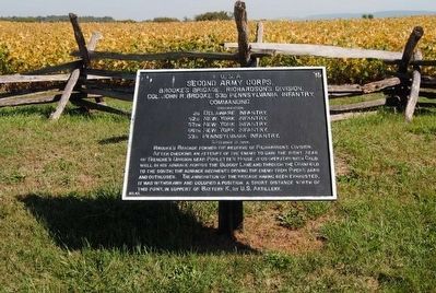
Brooke's Brigade formed the reserve of Richardson's Division. After checking an attempt of the enemy to gain the right rear of Frenche's Division near Roulette's House, it co-operated with Caldwell in his advance across the Bloody Lane and through the Cornfield to the South; The advance regiments driving the enemy through the Cornfield and outhouses. The ammunition of the Brigade having been exhausted, it was withdrawn and occupied a position a short distance to the north of this point, in support of Battery K, 1st U.S. Artillery.
Erected by Antietam Battlefield Board. (Marker Number 47.)
Topics and series. This historical marker is listed in this topic list: War, US Civil. In addition, it is included in the Antietam Campaign War Department Markers series list. A significant historical month for this entry is September 1797.
Location. 39° 28.204′ N, 77° 44.233′ W. Marker is near Sharpsburg, Maryland, in Washington County . Marker is on Richardson Avenue, on the left when traveling east. Located at a tablet cluster near the Sunken Road, stop eight on the driving tour of Antietam. Touch for map. Marker is in this post office area: Sharpsburg MD 21782, United States of America. Touch for directions.
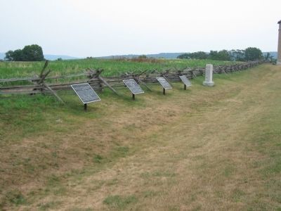
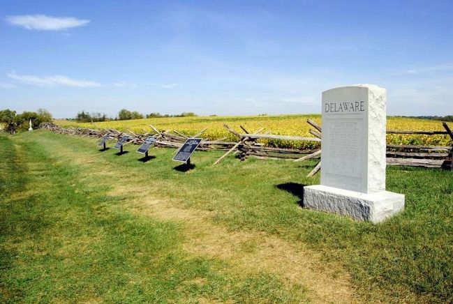
Other nearby markers. At least 10 other markers are within walking distance of this marker. 2nd Delaware (here, next to this marker); a different marker also named Second Army Corps (here, next to this marker); a different marker also named Second Army Corps (a few steps from this marker); Richardson's Division, Second Army Corps (a few steps from this marker); Anderson’s Division, Longstreet’s Command (within shouting distance of this marker); Army of the Potomac (about 300 feet away, measured in a direct line); September 16, 1862 (about 300 feet away); September 17, 1862 (about 300 feet away); September 17, 1862 (Continued) (about 300 feet away); a different marker also named September 17, 1862 (Continued) (about 300 feet away). Touch for a list and map of all markers in Sharpsburg.
More about this marker. General French's name is misspelled on this tablet.
Regarding Second Army Corps. This marker is included on the Sunken Road or Bloody Lane Virtual Tour by Markers see the Virtual tour link below to see the markers in sequence.
Also see . . .
1. Antietam Battlefield. National Park Service site. (Submitted on February 19, 2008, by Craig Swain of Leesburg, Virginia.)
2. 3rd Brigade, 1st Division, II Corps. Antietam on the Web entry (Submitted on February 19, 2008, by Craig Swain of Leesburg, Virginia.)
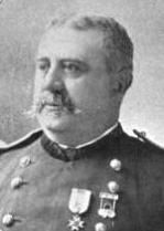
3. John R. Brooke. John Rutter (or Ruller) Brooke (July 21, 1838 – September 5, 1926) was a major general in the United States Army during both the American Civil War and the Spanish American War. He served as a military Governor of Puerto Rico and Governor of Cuba. (Submitted on September 27, 2015, by Brian Scott of Anderson, South Carolina.)
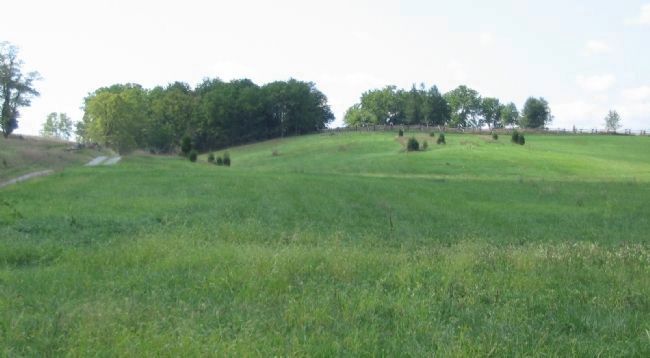
Photographed By Craig Swain, September 17, 2007
5. Brooke's Reserve Position
While the drama unfolded on the Sunken Road, Brooke's Brigade was held in reserve in this vicinity, near the Roulette Farm. Later the Brigade moved up on line behind and in support of Caldwell's Brigade, which had relieved Meager's. The photo was taken from the Roulette Farm, looking east. The Sunken Road is to the right, well out of frame.
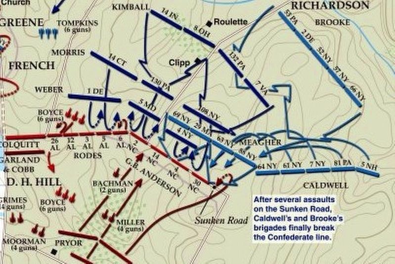
via American Battlefield Trust, unknown
8. Sunken Road or Bloody Lane Virtual Tour by Markers.
A collection of markers interpreting the action of during the Battle of Antietam around the Sunken Road.
(Submitted on February 23, 2008, by Craig Swain of Leesburg, Virginia.)
Click for more information.
(Submitted on February 23, 2008, by Craig Swain of Leesburg, Virginia.)
Click for more information.
Credits. This page was last revised on April 3, 2022. It was originally submitted on February 19, 2008, by Craig Swain of Leesburg, Virginia. This page has been viewed 894 times since then and 15 times this year. Photos: 1. submitted on February 19, 2008, by Craig Swain of Leesburg, Virginia. 2. submitted on September 27, 2015, by Brian Scott of Anderson, South Carolina. 3. submitted on February 18, 2008, by Craig Swain of Leesburg, Virginia. 4. submitted on September 27, 2015, by Brian Scott of Anderson, South Carolina. 5, 6. submitted on February 19, 2008, by Craig Swain of Leesburg, Virginia. 7. submitted on September 27, 2015, by Brian Scott of Anderson, South Carolina. 8. submitted on April 3, 2022, by Larry Gertner of New York, New York.
