Near New Harbor in Lincoln County, Maine — The American Northeast (New England)
Bell House
Photographed by William Fischer, Jr., September 24, 2011
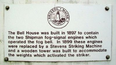
1. Bell House Marker
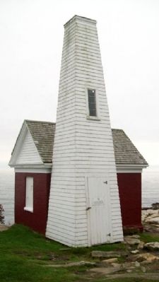
The Bell House was built in 1897 to contain the two Shipman fog-signal engines which operated the fog bell. In 1899 these engines were replaced by a Stevens Striking Machine and a wooden tower was built to accommodate the weights which activated the striker.
Topics and series. This historical marker is listed in these topic lists: Communications • Waterways & Vessels. In addition, it is included in the Historic Bells series list. A significant historical year for this entry is 1897.
Location. 43° 50.205′ N, 69° 30.371′ W. Marker is near New Harbor, Maine, in Lincoln County. It can be reached from Bristol Road. Marker is at Pemaquid Lighthouse Park, near Pemaquid Point, at the south end of Bristol Road. Touch for map. Marker is in this post office area: New Harbor ME 04554, United States of America. Touch for directions.

Regionally, this marker is in Midcoast Maine. It is also in the American Northeast, in New England, and on the Eastern Seaboard. Globally, it is in the North Atlantic Region, North America, the Western Hemisphere, the Western World, and the Anglosphere.
Other nearby markers. At least 8 other
this page online
Also see . . . Pemaquid Point Lighthouse. Lighthouse Friends website entry (Submitted on December 20, 2021, by Larry Gertner of New York, New York.)
Photographed by William Fischer, Jr., September 24, 2011
2. Bell House and Marker
Photographed by William Fischer, Jr., September 24, 2011
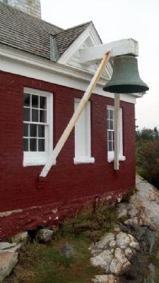
3. Bell House Bell
Photographed by William Fischer, Jr., September 24, 2011
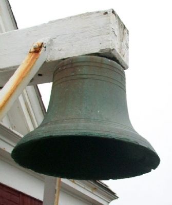
4. Bell House Bell
Credits. This page was last revised on December 20, 2021. It was originally submitted on May 17, 2012, by William Fischer, Jr. of Reynoldsburg, Ohio. This page has been viewed 1,487 times since then and 93 times this year. Photos: 1, 2, 3, 4. submitted on May 18, 2012, by William Fischer, Jr. of Reynoldsburg, Ohio.
