Thomaston in Knox County, Maine — The American Northeast (New England)
Thomaston Historical Timeline
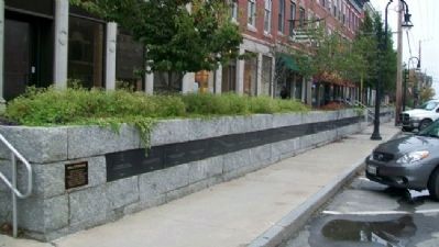
Photographed by William Fischer, Jr., September 24, 2011
1. Thomaston Historical Timeline Wall
1605
Capt. Geo. Waymouth explores and names the St. Georges River
1630
To trade with Indians native to area post built near Wadsworth St. Bridge
1692
St. Georges River is boundary between the French and English territories
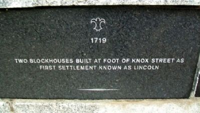
1719
Two blockhouses built at foot of Knox Street as first settlement known as Lincoln
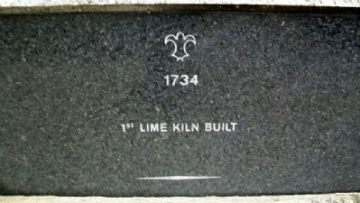
1734
1st lime kiln built
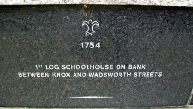
1754
1st log schoolhouse on Bank between Knox and Wadsworth Streets
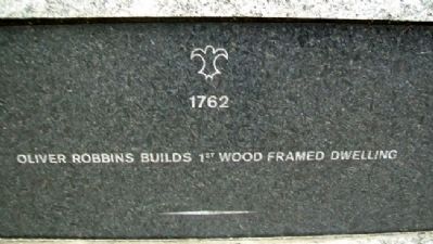
1762
Oliver Robbins builds 1st wood framed dwelling
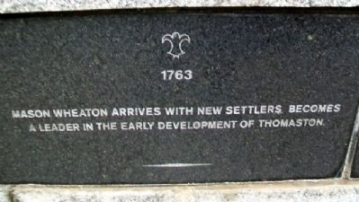
1763
Mason Wheaton arrives with new settlers. Becomes a leader in the early development of Thomaston
1776
War of Independence begins
1777
Town of Thomaston incorporated
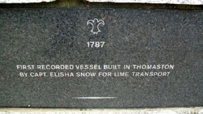
1787
First recorded vessel built in Thomaston by Capt. Elisha Snow for lime transport
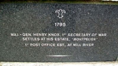
1795
Maj.-Gen. Henry Knox, 1st Secretary of War, settles at his estate, “Montpelier”
1st Post Office est., at Mill River
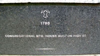
1796
Congregational Mtg. House built on High St.
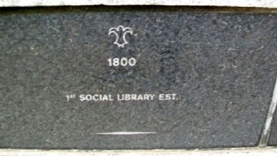
1800
1st Social Library est.
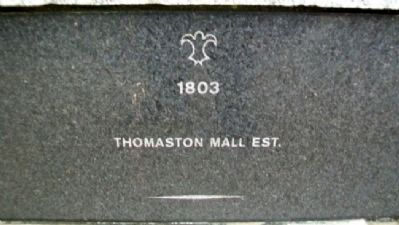
1803
Thomaston Mall est.
1805
1st Thomaston Free Masonry Lodge est.
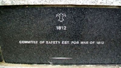
1812
Commitee [sic] of Safety est. for War of 1812
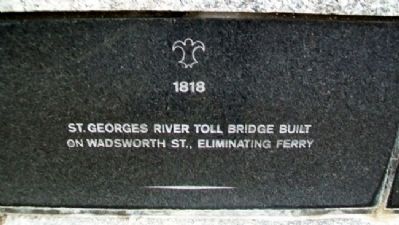
1818
St. Georges River toll bridge built on Wadsworth St.,
this page online
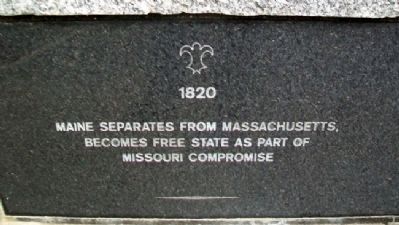
1820
Maine separates from Massachusetts, becomes Free State as part of Missouri Compromise
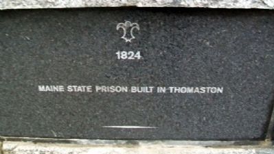
1824
Maine State Prison built in Thomaston
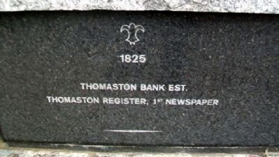
1825
Thomaston Bank est.
Thomaston Register, 1st newspaper
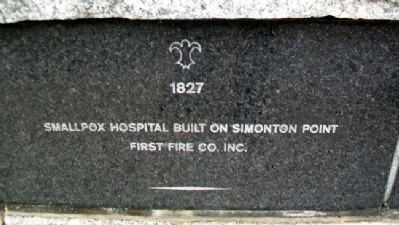
1827
Smallpox Hospital built on Simonton Point
First Fire Co. inc.
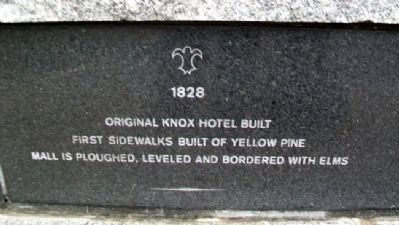
1828
Original Knox Hotel built
First sidewalks built of yellow pine
Mall is ploughed, leveled and bordered with elms
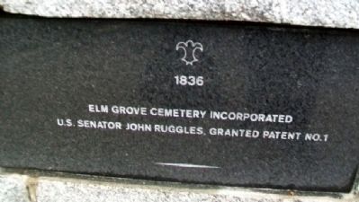
1836
Elm Grove Cemetery incorporated
U.S. Senator John Ruggles granted Patent No.1
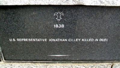
1838
U.S. Representative Jonathan Cilley killed in duel
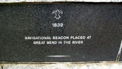
1839
Navigational beacon placed at Great Bend in the River
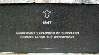
1847
Significant expansion of shipyards occurs along the waterfront
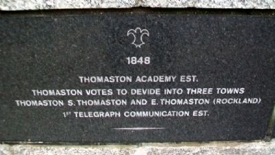
1848
Thomaston Academy est.
Thomaston votes to devide [sic] into three towns
Thomaston, S. Thomaston and E. Thomaston (Rockland)
1st telegraph communication est.
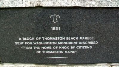
1851
A block of Thomaston Black Marble sent for Washington Monument inscribed “From the home of Knox by Citizens of Thomaston Maine”
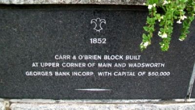
1852
Carr & O’Brien Block built at upper corner of Main and Wadsworth
Georges Bank incorp. with capital of $50,000
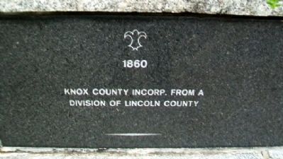
1860
Knox County incorp. from a
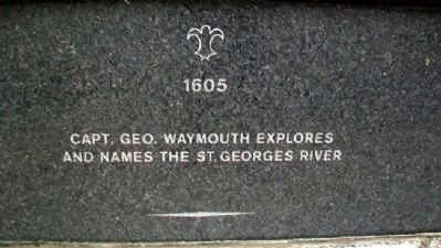
Photographed by William Fischer, Jr., September 24, 2011
2. Thomaston Historical Timeline Marker
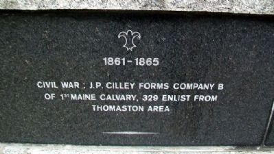
1861-1865
Civil War; J.P. Crilley forms Company B of 1st Maine Calvary [sic], 329 enlist from Thomaston area
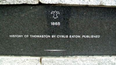
1865
History of Thomaston by Cyrus Eaton, published
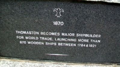
1870
Thomaston becomes major shipbuilder for world trade, launching more than 670 wooden ships between 1784 & 1921
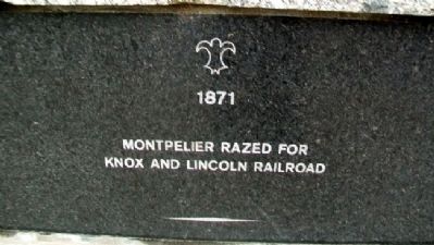
1871
Montpelier razed for Knox and Lincoln Railroad
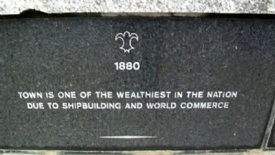
1880
Town is one of the wealthiest in the nation due to shipbuilding and world commerce
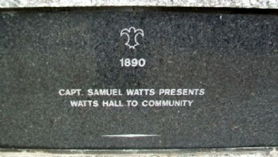
1890
Capt. Samuel Watts presents Watts Hall to community
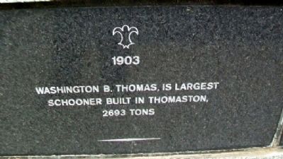
1903
Washington B. Thomas, is largest schooner built in Thomaston, 2693 tons
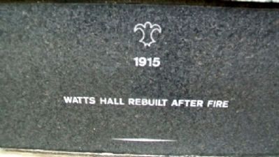
1915
Watts Hall rebuilt after fire
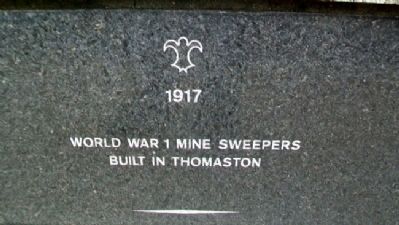
1917
World War 1 mine sweepers built in Thomaston
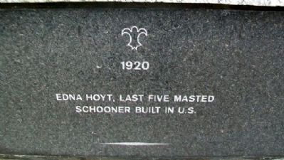
1920
Edna Hoyt, last five masted schooner built in U.S.
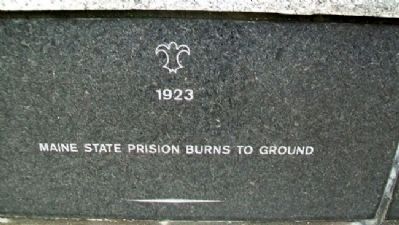
1923
Maine State Prison burns to ground
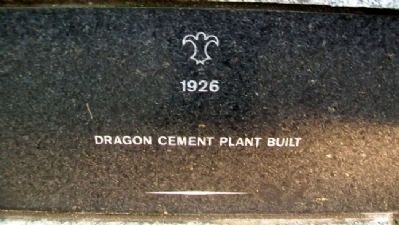
1926
Dragon Cement plant built
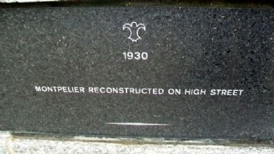
1930
Montpelier reconstructed on High Street
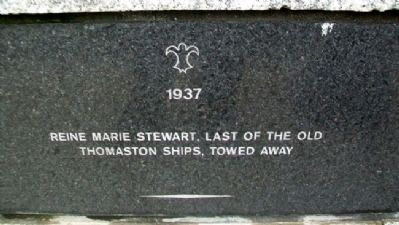
1937
Reine Marie Stewart, last of the old Thomaston ships, towed away
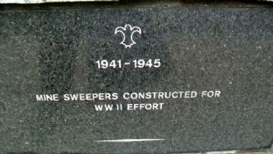
1941-1945
Mine sweepers constructed for WWII effort
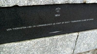
1954
USS Thomaston LSD-28 commissioned as first of eight “Thomaston Class” of ships
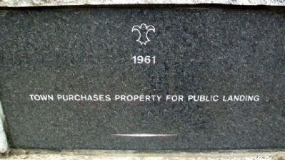
1961
Town purchases property for public landing
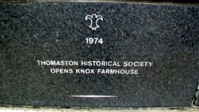
1974
Thomaston
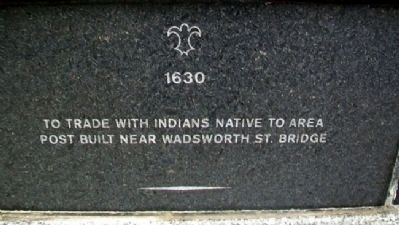
Photographed by William Fischer, Jr., September 24, 2011
3. Thomaston Historical Timeline Marker
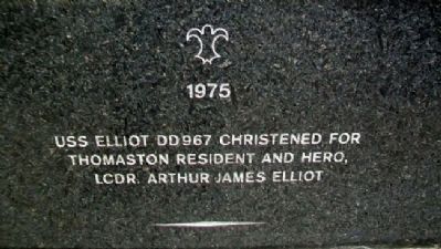
1975
USS Elliot DD967 christened for Thomaston resident and hero, LCDR. Arthur James Elliot
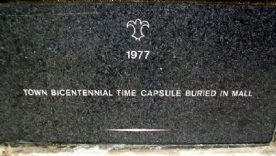
1977
Town Bicentennial Time Capsule buried in Mall
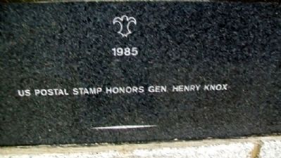
1985
US Postal stamp honors Gen. Henry Knox
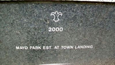
2000
Mayo Park est. at Town Landing
2002
Maine State Prison razed
Museum in Streets est.
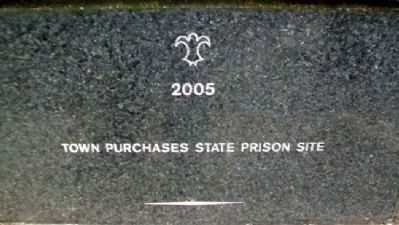
2005
Town purchases state prison site
Erected by Town of Thomaston and Concerned Citizens and Businesses.
Topics and series. This historical marker is listed in this topic list: Notable Events. In addition, it is included in the Time Capsules series list. A significant historical year for this entry is 1605.
Location. 44° 4.736′ N, 69° 10.993′ W. Marker is in Thomaston, Maine, in Knox County. It is on Main Street (U.S. 1) near Knox Street, on the right when traveling west. Touch for map. Marker is at or near this postal address: 183 Main Street, Thomaston ME 04861, United States of America. Touch for directions.

Regionally, this marker is in Midcoast Maine and on Penobscot Bay. It is also in the American Northeast, in New England, and on the Eastern Seaboard. Globally, it is in the North Atlantic Region,
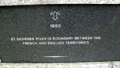
Photographed by William Fischer, Jr., September 24, 2011
4. Thomaston Historical Timeline Marker
Other nearby markers. At least 8 other markers are within walking distance of this marker: A Town Landmark (within shouting distance of this marker); A Case of Modern Technology (within shouting distance of this marker); The Builders, the Captains and the Seamen of Thomaston Ships (within shouting distance of this marker); Thomaston, Maine (within shouting distance of this marker); Thomaston's Business Block (within shouting distance of this marker); June 7, 1915 (within shouting distance of this marker); Two Historic Churches and Good Neighbors (within shouting distance of this marker); Once a Tavern / Une Ancienne Taverne (about 700 feet away, measured in a direct line). Touch for a list and map of all markers in Thomaston.
Also see . . . History of Thomaston, Maine. Repaired broken link; 03/07/2026 LPG. (Submitted on May 19, 2012, by William Fischer, Jr. of Reynoldsburg, Ohio.)
Photographed by William Fischer, Jr., September 24, 2011
5. Thomaston Historical Timeline Marker
Photographed by William Fischer, Jr., September 24, 2011
6. Thomaston Historical Timeline Marker
Photographed by William Fischer, Jr., September 24, 2011
7. Thomaston Historical Timeline Marker
Photographed by William Fischer, Jr., September 24, 2011
8. Thomaston Historical Timeline Marker
Photographed by William Fischer, Jr., September 24, 2011
9. Thomaston Historical Timeline Marker
Photographed by William Fischer, Jr., September 24, 2011
10. Thomaston Historical Timeline Marker
Photographed by William Fischer, Jr., September 24, 2011
11. Thomaston Historical Timeline Marker
Photographed by William Fischer, Jr., September 24, 2011
12. Thomaston Historical Timeline Marker
Photographed by William Fischer, Jr., September 24, 2011
13. Thomaston Historical Timeline Marker
Photographed by William Fischer, Jr., September 24, 2011
14. Thomaston Historical Timeline Marker
Photographed by William Fischer, Jr., September 24, 2011
15. Thomaston Historical Timeline Marker
Photographed by William Fischer, Jr., September 24, 2011
16. Thomaston Historical Timeline Marker

Photographed by William Fischer, Jr., September 24, 2011
17. Thomaston Historical Timeline Marker
Photographed by William Fischer, Jr., September 24, 2011
18. Thomaston Historical Timeline Marker
Photographed by William Fischer, Jr., September 24, 2011
19. Thomaston Historical Timeline Marker
Photographed by William Fischer, Jr., September 24, 2011
20. Thomaston Historical Timeline Marker
Photographed by William Fischer, Jr., September 24, 2011
21. Thomaston Historical Timeline Marker
Photographed by William Fischer, Jr., September 24, 2011
22. Thomaston Historical Timeline Marker
Photographed by William Fischer, Jr., September 24, 2011
23. Thomaston Historical Timeline Marker
Photographed by William Fischer, Jr., September 24, 2011
24. Thomaston Historical Timeline Marker
Photographed by William Fischer, Jr., September 24, 2011
25. Thomaston Historical Timeline Marker
Photographed by William Fischer, Jr., September 24, 2011
26. Thomaston Historical Timeline Marker
Photographed by William Fischer, Jr., September 24, 2011
27. Thomaston Historical Timeline Marker
Photographed by William Fischer, Jr., September 24, 2011
28. Thomaston Historical Timeline Marker
Photographed by William Fischer, Jr., September 24, 2011
29. Thomaston Historical Timeline Marker
Photographed by William Fischer, Jr., September 24, 2011
30. Thomaston Historical Timeline Marker
Photographed by William Fischer, Jr., September 24, 2011
31. Thomaston Historical Timeline Marker
Photographed by William Fischer, Jr., September 24, 2011
32. Thomaston Historical Timeline Marker
Photographed by William Fischer, Jr., September 24, 2011
33. Thomaston Historical Timeline Marker
Photographed by William Fischer, Jr., September 24, 2011
34. Thomaston Historical Timeline Marker
Photographed by William Fischer, Jr., September 24, 2011
35. Thomaston Historical Timeline Marker
Photographed by William Fischer, Jr., September 24, 2011
36. Thomaston Historical Timeline Marker
Photographed by William Fischer, Jr., September 24, 2011
37. Thomaston Historical Timeline Marker
Photographed by William Fischer, Jr., September 24, 2011
38. Thomaston Historical Timeline Marker
Photographed by William Fischer, Jr., September 24, 2011
39. Thomaston Historical Timeline Marker
Photographed by William Fischer, Jr., September 24, 2011
40. Thomaston Historical Timeline Marker
Photographed by William Fischer, Jr., September 24, 2011
41. Thomaston Historical Timeline Marker
Photographed by William Fischer, Jr., September 24, 2011
42. Thomaston Historical Timeline Marker
Photographed by William Fischer, Jr., September 24, 2011
43. Thomaston Historical Timeline Marker
Photographed by William Fischer, Jr., September 24, 2011
44. Thomaston Historical Timeline Marker
Photographed by William Fischer, Jr., September 24, 2011
45. Thomaston Historical Timeline Marker
Photographed by William Fischer, Jr., September 24, 2011
46. Thomaston Historical Timeline Marker
Photographed by William Fischer, Jr., September 24, 2011
47. Thomaston Historical Timeline Marker
Photographed by William Fischer, Jr., September 24, 2011
48. Thomaston Historical Timeline Marker
Photographed by William Fischer, Jr., September 24, 2011
49. Thomaston Historical Timeline Marker
Photographed by William Fischer, Jr., September 24, 2011
50. Thomaston Historical Timeline Marker
Photographed by William Fischer, Jr., September 24, 2011
51. Thomaston Historical Timeline Marker
Photographed by William Fischer, Jr., September 24, 2011
52. Thomaston Historical Timeline Marker
Photographed by William Fischer, Jr., September 24, 2011
53. Thomaston Historical Timeline Marker
Photographed by William Fischer, Jr., September 24, 2011
54. Thomaston Historical Timeline Marker

Photographed by William Fischer, Jr., September 24, 2011
55. Thomaston Historical Timeline Marker
Photographed by William Fischer, Jr., September 24, 2011
56. Thomaston Historical Timeline Marker
Photographed by William Fischer, Jr., September 24, 2011
57. Thomaston Historical Timeline Wall
Photographed by William Fischer, Jr., September 24, 2011
58. Thomaston Historical Timeline Marker Wall
Credits. This page was last revised on March 7, 2026. It was originally submitted on May 19, 2012, by William Fischer, Jr. of Reynoldsburg, Ohio. This page has been viewed 1,625 times since then and 43 times this year. Photos: 1, 2, 3, 4, 5, 6, 7, 8, 9, 10, 11, 12, 13, 14, 15, 16, 17, 18, 19, 20, 21, 22, 23, 24, 25, 26, 27, 28, 29, 30, 31, 32, 33, 34, 35, 36, 37, 38, 39, 40, 41, 42, 43, 44, 45, 46, 47, 48, 49, 50, 51, 52, 53, 54, 55, 56, 57, 58. submitted on May 19, 2012, by William Fischer, Jr. of Reynoldsburg, Ohio.
