Knight Park/Howell Station in Atlanta in Fulton County, Georgia — The American South (South Atlantic)
Confederate Army Command Changed
>>>----- >
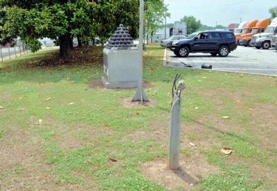
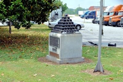
Gen. William Tecumseh Sherman (US) had been trying for months to force Gen. Joseph E. Johnston (CS) to abandon delaying tactics and face overwhelming odds in open battle. Gen. John Bell Hood took command of the Confederate Army on the above date and daringly went out to meet the Union forces. Atlanta fell after bitter fighting. There are 55 original Confederate cannon balls in the adjacent U.D.C. marker.
Erected 1953 by Georgia Historical Commission. (Marker Number 060-3.)
Topics and series. This historical marker is listed in this topic list: War, US Civil. In addition, it is included in the Georgia Historical Society series list. A significant historical date for this entry is July 18, 1775.
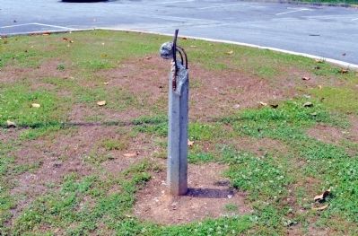
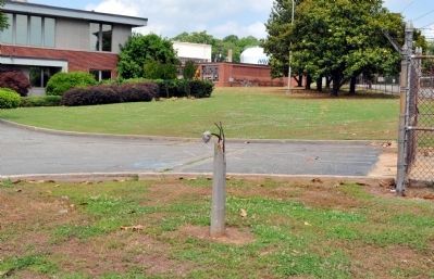
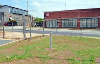
Location. Marker has been reported missing. It was located near 33° 47.017′ N, 84° 25.086′ W. Marker was in Atlanta, Georgia, in Fulton County. It was in Knight Park/Howell Station. Marker was on West Marietta Street, 0.1 miles west of Joseph E. Lowry Boulevard, on the left when traveling west. The marker stood in front of the Mead Paper Company plant. Touch for map. Marker was at or near this postal address: 950 West Marietta Street, Atlanta GA 30318, United States of America. Touch for directions.
Other nearby markers. At least 8 other markers are within 2 miles of this location, measured as the crow flies. Headquarters of General Joseph E. Johnston (here, next to this marker); Surrender of Atlanta (approx. 0.8 miles away); Loring’s Hill (approx. one mile away); Site of Captain Overton W. Barret’s battery of Missouri. (approx. one mile away); Davis' Hill (approx. 1.2 miles away); Outer Defense Line (approx. 1.2 miles away); French’s Division Hood’s Left Flank (approx. 1.4 miles away); Theodore “Tiger” Flowers (approx. 1.4 miles away). Touch for a list and map of all markers in Atlanta.
More about this marker. The marker disappeared sometime between 2004 and 2010. The text for the missing marker was taken from old photographs.
Regarding Confederate Army Command Changed. Many historians believe that President Jefferson Davis' removal of Gen. Johnston and promoting Gen. Hood to the command was one of the significant mistakes of the campaign in Georgia, if not of the entire war.
Credits. This page was last revised on February 8, 2023. It was originally submitted on May 23, 2012, by David Seibert of Sandy Springs, Georgia. This page has been viewed 645 times since then and 11 times this year. Photos: 1, 2, 3, 4, 5. submitted on May 23, 2012, by David Seibert of Sandy Springs, Georgia. • Craig Swain was the editor who published this page.
