Near Iron City in Seminole County, Georgia — The American South (South Atlantic)
Site of U.S. Post Office Reynoldsville, Georgia / Reuben Arthur Reynolds
Inscription.
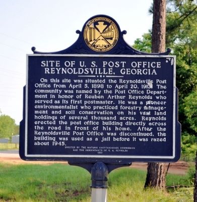
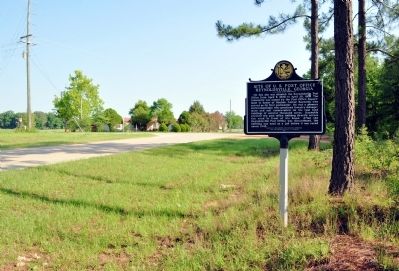
Side 1: Site of U.S. Post Office Reynoldsville, Georgia
On this site was situated the Reynoldsville Post Office from April 5, 1898 to April 20, 1913. The community was named by the Post Office Department in honor of Reuben Arthur Reynolds who served as its first postmaster. He was a pioneer environmentalist who practiced forestry management and soil conservation on his vast land holdings of several thousand acres. Reynolds erected the post office building directly across the road in front of his home. After the Reynoldsville Post Office was discontinued, the building was used as a jail before it was razed about 1945.
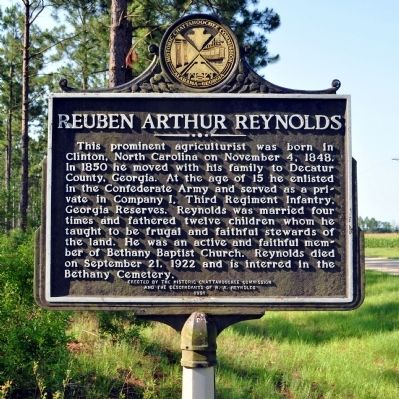
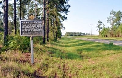
Side 2: Reuben Arthur Reynolds
This prominent agriculturist was born in Clinton, North Carolina on November 4, 1848. In 1850 he moved with his family to Decatur County, Georgia. At the age of 15 he enlisted in the Confederate Army and served as a private in Company I, Third Regiment Infantry, Georgia Reserves. Reynolds was married four times and fathered twelve children whom he taught to be frugal and faithful stewards of the land. He was an active and faithful member of Bethany Baptist Church. Reynolds died on September 21, 1922 and is interred in the Bethany Cemetery.
Erected 1991 by Historic Chattahoochee Commission and the Descendants of R. A. Reynolds.
Topics and series. This historical marker is listed in these topic lists: Agriculture • Horticulture & Forestry • War, US Civil. In addition, it is included in the Postal Mail and Philately series list. A significant historical month for this entry is April 1869.
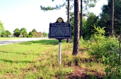
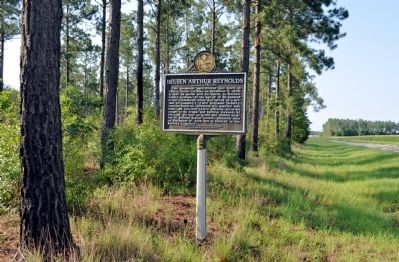
Location. 30° 52.322′ N, 84° 46.662′ W. Marker is near Iron City, Georgia, in Seminole County. Marker is at the intersection of Braswell Godby Road (County Route 12) and Church Street, on the right when traveling north on Braswell Godby Road. Touch for map. Marker is in this post office area: Iron City GA 39859, United States of America. Touch for directions.
Other nearby markers. At least 8 other markers are within 12 miles of this marker, measured as the crow flies. Brinson / Simeon Brinson (approx. 7.3 miles away); Sabacola El Menor (approx. 7.4 miles away); Cyrene / Cyrene Institute (approx. 7˝ miles away); Fort Scott (approx. 7.6 miles away); Camp Recovery (approx. 8.6 miles away); Camp Recovery Monument (approx. 8.7 miles away); Village of Fowltown (approx. 11.2 miles away); William Belk "Bill" Lynn and Lynn Station (approx. 11.2 miles away).
Credits. This page was last revised on June 16, 2016. It was originally submitted on May 26, 2012, by David Seibert of Sandy Springs, Georgia. This page has been viewed 1,256 times since then and 29 times this year. Photos: 1, 2, 3, 4, 5, 6. submitted on May 26, 2012, by David Seibert of Sandy Springs, Georgia. • Craig Swain was the editor who published this page.
