Near Polo in Ogle County, Illinois — The American Midwest (Great Lakes)
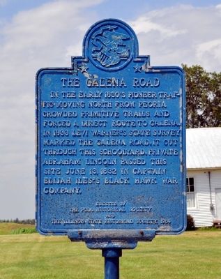
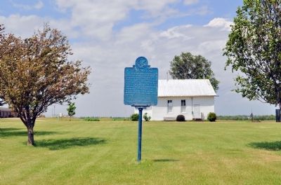
The Galena Road
Erected 1964 by Polo Historical Society and the Illinois State Historical Society.
Topics and series. This historical marker is listed in these topic lists: Roads & Vehicles • Wars, US Indian. In addition, it is included in the Former U.S. Presidents: #16 Abraham Lincoln, and the Illinois State Historical Society series lists. A significant historical month for this entry is June 1909.
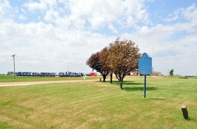
Location. 41° 57.571′ N, 89° 34.763′ W. Marker is near Polo, Illinois, in Ogle County. Marker is at the intersection of U.S. 52 and West Henry Road, on the right when traveling north on U.S. 52. Touch for map. Marker is in this post office area: Polo IL 61064, United States of America. Touch for directions.
Other nearby markers. At least 8 other markers are within 3 miles of this marker, measured as the crow flies. Buffalo Grove (approx. 1.7 miles away); Lincoln in Polo (approx. 1.9 miles away); First Cabin in Ogle County (approx. 2.1 miles away); Buffalo Grove Lime Kiln 1870-1915 (approx. 2.3 miles away); William Durley Killed Here (approx. 2˝ miles away); William Durley Killed By Indians (approx. 2˝ miles away); Indian Ambush (approx. 2˝ miles away); The Boles Trail (approx. 2.7 miles away). Touch for a list and map of all markers in Polo.
Credits. This page was last revised on June 16, 2016. It was originally submitted on May 29, 2012, by David Seibert of Sandy Springs, Georgia. This page has been viewed 731 times since then and 39 times this year. Photos: 1, 2, 3. submitted on May 29, 2012, by David Seibert of Sandy Springs, Georgia. • Bernard Fisher was the editor who published this page.


