Near Lanark in Carroll County, Illinois — The American Midwest (Great Lakes)
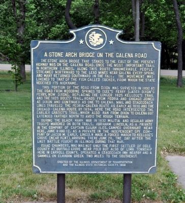
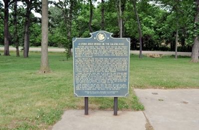
A Stone Arch Bridge on the Galena Road
This portion of the road from Dixon was surveyed in 1830 as the road from Woodbine Springs to Ogee's Ferry (later Dixon's Ferry, now Dixon), replacing the longer 1825 Kellogg's Trail and the 1826 Boles’ Trail. Roads from Peoria and Chicago joined at Dixon and continued as one to Galena. Mail and stagecoach lines traveled the Peoria-Galena route as early as 1830 and the Chicago-Galena route by 1834. Here the road intersected the earlier Gratiot’s Trail, which also ran from Dixon to Galena but extended farther north to avoid the rough terrain.
During the Black Hawk War in 1832 militia and regular army troops marched on both trails. Abraham Lincoln, as a private in the company of Captain Elijah Iles, camped overnight near here, June 8 and 12. As a private in the independent spy company of Jacob M. Early, Lincoln made a forced march to Kellogg’s Grove (near Kent), arriving there June 26, the day after the last battle fought in Illinois during that war.
Isaac Chambers, who was not only the first settler of Ogle County at Buffalo Grove near Polo but also of Lima Township here in Carroll County, operated a stagecoach inn nearby and a sawmill on Elkhorn Creek two miles to the southeast.
Erected 1968 by Illinois Department of Transportation and the Illinois State Historical Society.
Topics and series. This historical marker is listed in these topic lists: Bridges & Viaducts • Roads & Vehicles • Wars, US Indian. In addition, it is included in the Illinois State Historical Society series list. A significant historical month for this entry is June 1832.
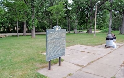
Location. 42° 3.895′ N, 89° 42.115′ W. Marker is near Lanark, Illinois, in Carroll County. Marker is on Chambers Road (U.S. 52) 0.2 miles south of Willow Road, on the left when traveling north. The marker is in a rest area just off the highway. Touch for map. Marker is in this post office area: Lanark IL 61046, United States of America. Touch for directions.
Other nearby markers. At least 8 other markers are within 8 miles of this marker, measured as the crow flies. Site of Eagle Point Gang Plow Factory (approx. 5 miles away); William Durley Killed By Indians (approx. 7.2 miles away); Indian Ambush (approx. 7.2 miles away); William Durley Killed Here (approx. 7.2 miles away); Buffalo Grove Lime Kiln 1870-1915
(approx. 7.4 miles away); First House & Store in Forreston (approx. 7½ miles away); First Cabin in Ogle County (approx. 7.6 miles away); Buffalo Grove (approx. 8 miles away).
Credits. This page was last revised on June 16, 2016. It was originally submitted on May 29, 2012, by David Seibert of Sandy Springs, Georgia. This page has been viewed 1,186 times since then and 54 times this year. Photos: 1, 2, 3. submitted on May 29, 2012, by David Seibert of Sandy Springs, Georgia. • Bernard Fisher was the editor who published this page.


