Rochester in Beaver County, Pennsylvania — The American Northeast (Mid-Atlantic)
About River Transit ...
Riverfrontiers
| — | Stories of Beaver County & its Rivers | — |
Photographed by Dale K. Benington, July 14, 2011
1. About River Transit ... Marker
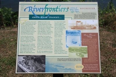
In those days, the waterways were very useful but also were barriers - without a bridge or a boat, people and towns remained isolated on opposite shores.
Indian tribes and early explorers used dugout canoes to travel the rivers and cross them; but, to haul many people or heavy goods, larger sturdier boats were needed. In time, vessels such as the flatboat, the cotton boat and the keelboat were built to carry heavier loads and were also specially designed for traveling against the river current. Long poles were used to help these boats move upstream or in shallow areas. A keelboat was used by Lewis and Clark in 1803 to move upriver during their expedition on the Ohio and Missouri Rivers.
Aaron Burr (Vice President of the U.S. under president Thomas Jefferson) commissioned the building of covered keelboats across
this page online
By 1807, the steamboat had been invented. This boat was powered by a steam-heated engine instead of using man-powered paddles or poles. Ideal for hauling heavy cargo and for providing fast, safe passenger travel, the new steamboats were so successful that by 1811, boat building was one of Beaver County's largest industries.
At one time there were numerous boatyards right here at the mouth of the Beaver River. Countless boats were constructed, launched, docked, loaded and unloaded at Rochester, linking it to other towns along the Ohio River.
Photographed by Dale K. Benington, July 14, 2011
2. About River Transit ... Marker
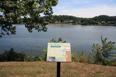
View of the historic marker on the north shoreline of the Ohio River, looking across the Ohio River in the background of the picture.
Topics. This historical marker is listed in this topic list: Waterways & Vessels. A significant historical year for this entry is 1803.
Location. 40° 41.881′ N, 80° 17.173′ W. Marker is in Rochester, Pennsylvania, in Beaver County. It is on Water Street west of Harrison Street, on the left when traveling west. This historic marker is located in a community park, along the Ohio River north shore line, near the east side of the mouth of the Beaver River. Touch for map. Marker is in this post office area: Rochester PA 15074, United States of America. Touch for directions.

Regionally, this marker is in Greater Pittsburgh. It is also in the American Northeast, in the Mid-Atlantic, and in the Ohio River Valley. Globally, it is in North America, the Western Hemisphere, the Western World, and the Anglosphere. Historically, it finds itself in what was once the Haudenosaunee (Iroquois) Confederacy and also one of the original Thirteen Colonies.
Other nearby markers. At least 8 other markers are within walking distance of this marker:
Photographed by Dale K. Benington, July 14, 2011
3. About River Transit ... Marker
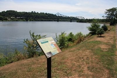
View of the historic marker looking west along the Ohio River with a railroad bridge seen spanning the Ohio River in the distant background.
Photographed by Dale K. Benington, July 14, 2011
4. About River Transit ... Marker
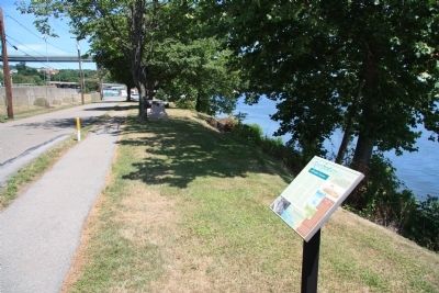
View of the historic marker looking east along Water Street.
Credits. This page was last revised on June 16, 2016. It was originally submitted on June 2, 2012, by Dale K. Benington of Toledo, Ohio. This page has been viewed 833 times since then and 13 times this year. Photos: 1, 2, 3, 4. submitted on June 2, 2012, by Dale K. Benington of Toledo, Ohio.
