Bainbridge in Decatur County, Georgia — The American South (South Atlantic)
Steamboats
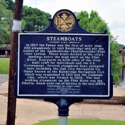
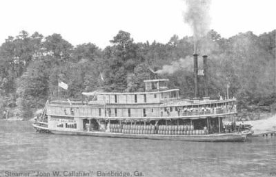
In 1827 the Fanny was the first of more than 220 steamboats to visit Bainbridge and ply the waters of the Apalachicola-Chattahoochee-Flint river system. These boats docked at the city's landings below the high bluff on the Flint River. Boatyards on both sides of the river built craft for individuals and the U.S. Government. Several steamboat lines operated here including the Oak City Navigation Co. (later known as the Bainbridge Navigation Co.), which was organized in 1901 and the Callahan Line, which was formed in 1906. The last working steamboat on the Flint River was the Elberta, which went out of service in the late 1930’s.
(Continued on other side)
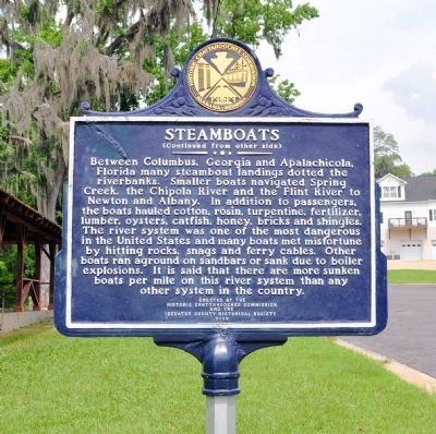
(Continued from other side)
Between Columbus, Georgia and Apalachicola, Florida many steamboat landings dotted the riverbanks. Smaller boats navigated Spring Creek, the Chipola River and the Flint River to Newton and Albany. In addition to passengers, the boats hauled cotton, rosin, turpentine, fertilizer, lumber, oysters, catfish, honey, brick and shingles. The river system was one of the most dangerous in the United States and many boats met misfortune by hitting rocks, snags and ferry cables. Other boats ran aground on sandbars or sank due to boiler explosions. It is said that there are more sunken boats per mile on this river system than any other system in the country.
Erected 2002 by Historic Chattahoochee Commission and the Decatur County Historical Society.
Topics. This historical marker is listed in these topic lists: Industry & Commerce • Waterways & Vessels. A significant historical year for this entry is 1827.
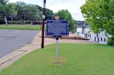
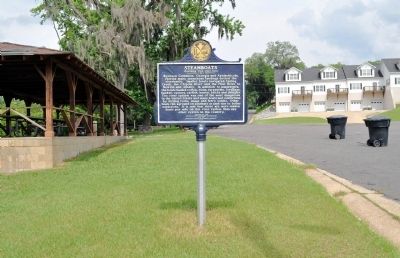
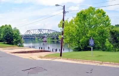
Location. 30° 54.39′ N, 84° 34.934′ W. Marker is in Bainbridge, Georgia, in Decatur County. Marker is on West Water Street, 0 miles west of South Bruton Street, on the right when traveling west. The marker stands by the Flint River in Cheney Griffin Park. Touch for map. Marker is in this post office area: Bainbridge GA 39817, United States of America. Touch for directions.
Other nearby markers. At least 8 other markers are within walking distance of this marker. The First Seminole War in Decatur County (approx. 0.2 miles away); General Andrew Jackson Trail (approx. 0.2 miles away); Decatur County During the Creek and Seminole Wars Era (approx. 0.2 miles away); The Battle of Fowltown (approx. 0.2 miles away); The Second Creek War and Removal in the Decatur County Area (approx. 0.2 miles away); The J.D. Chason Memorial Park / The J.D. Chason Memorial Park History (approx. ¼ mile away); Fort Scott Memorial (approx. ¼ mile away); First United Methodist Church (approx. 0.3 miles away). Touch for a list and map of all markers in Bainbridge.
Credits. This page was last revised on June 6, 2020. It was originally submitted on June 5, 2012, by David Seibert of Sandy Springs, Georgia. This page has been viewed 1,059 times since then and 35 times this year. Photos: 1, 2, 3, 4, 5, 6. submitted on June 5, 2012, by David Seibert of Sandy Springs, Georgia. • Craig Swain was the editor who published this page.
