Laurinburg in Scotland County, North Carolina — The American South (South Atlantic)
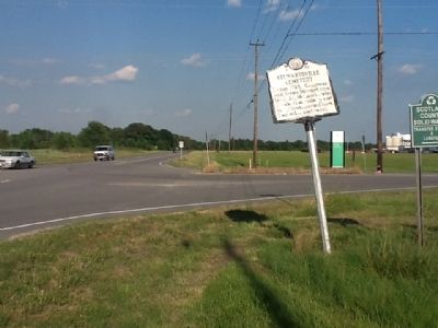
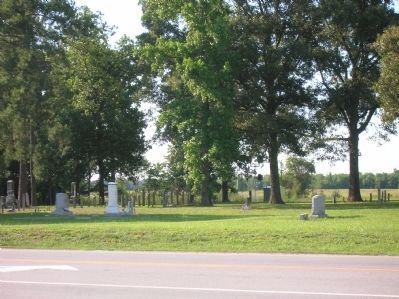
Stewartsville Cemetery
Erected 1967 by NC Archives and Highways Departments. (Marker Number I-57.)
Topics and series. This historical marker is listed in these topic lists: Cemeteries & Burial Sites • Charity & Public Work • Government & Politics. In addition, it is included in the North Carolina Division of Archives and History series list. A significant historical year for this entry is 1785.
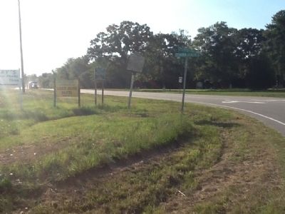
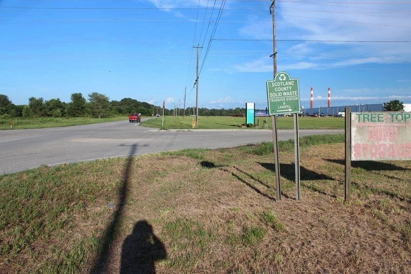
Location. Marker has been permanently removed. It was located near 34° 45.27′ N, 79° 24.03′ W. Marker was in Laurinburg, North Carolina, in Scotland County. Marker was at the intersection of Business U.S. 74 and Rocky Ford Roud, on the right when traveling east on U.S. 74Business . Touch for map. Marker was in this post office area: Laurinburg NC 28352, United States of America.
We have been informed that this sign or monument is no longer there and will not be replaced. This page is an archival view of what was.
Other nearby markers. At least 8 other markers are within 4 miles of this location, measured as the crow flies. Stewart-Hawley-Malloy House (approx. 1.2 miles away); Laurinburg-Maxton Army Air Base (approx. 1.9 miles away); Carolina College (approx. 2.8 miles away); World War II Glider Pilots (approx. 3.4 miles away); 09.11.2001 (approx. 3.7 miles away); Scotland County Veterans Memorial (approx. 3.7 miles away); Quackenbush (approx. 3.7 miles away); Our Confederate Heroes (approx. 3.7 miles away). Touch for a list and map of all markers in Laurinburg.
Credits. This page was last revised on March 4, 2021. It was originally submitted on June 8, 2012, by Michael C. Wilcox of Winston-Salem, North Carolina. This page has been viewed 645 times since then and 27 times this year. Photos: 1, 2, 3, 4. submitted on June 8, 2012, by Michael C. Wilcox of Winston-Salem, North Carolina. 5. submitted on July 29, 2020, by Tim Fillmon of Webster, Florida. • Craig Swain was the editor who published this page.


