West Point in Orange County, New York — The American Northeast (Mid-Atlantic)
Constitution Island
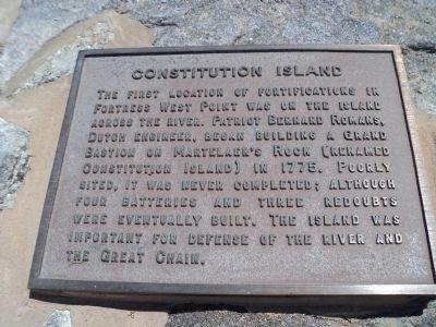
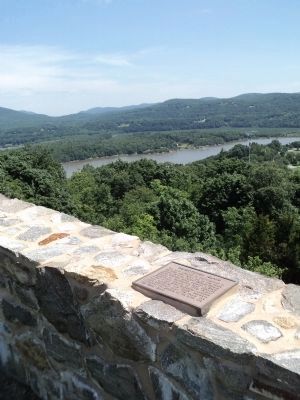
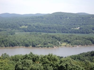
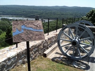
The first location of fortifications in Fortress West Point was on the island across the river. Patriot Bernard Romans, Dutch engineer, began building a Grand Bastion on Martelaer’s Rock (renamed Constitution Island) in 1775. Poorly sited, it was never completed; although four batteries and three redoubts were eventually built. The island was important for defense of the river and the Great Chain.
Topics. This historical marker is listed in this topic list: War, US Revolutionary. A significant historical year for this entry is 1775.
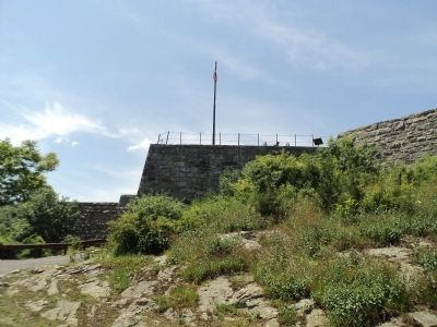
Location. 41° 23.42′ N, 73° 57.823′ W. Marker is in West Point, New York, in Orange County. Marker can be reached from Delafield Road, on the right when traveling north. Marker is located inside Fort Putnam on the grounds of the United States Military Academy. Touch for map. Marker is in this post office area: West Point NY 10996, United States of America. Touch for directions.
Other nearby markers. At least 8 other markers are within walking distance of this marker. Constitution Island Redoubts (here, next to this marker); Revolutionary War Fortifications (here, next to this marker); Original Embrasure (a few steps from this marker); Fort Putnam (within shouting distance of this marker); Archeology, 1974 (within shouting distance of this marker); Bronze Field Guns (within shouting distance of this marker); McLean Historical Museum Building (within shouting distance of this marker); Artillery and Mortars (within shouting distance of this marker). Touch for a list and map of all markers in West Point.
Photographed By Bill Coughlin, June 8, 2012
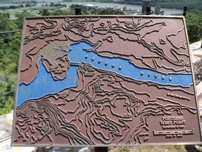
6. Fortress West Point
Placed near the marker:
Elevations in Feet
Marker features a map of West Point and Constitution Island, showing the Great Chain across the Hudson River and the locations of Fort Arnold, Sherburne Redoubt, Fort Willys, Fort Meigs, Fort Webb, Fort Putam, Crow’s Nest and Moore’s House on the west side the Hudson River, and the North Redoubt, Middle (South) Redoubt, Nelson’s Point and Robinson’s House on the east side.
Photographed By Bill Coughlin, June 8, 2012
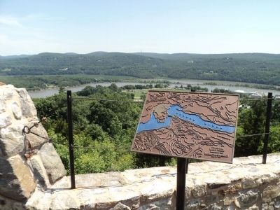
7. Fortress West Point Marker
Fort Putnam was designed to protect Fort Arnold (later renamed Fort Clinton) and other batteries that were located near the Hudson River (seen in the background). The location of Fort Clinton is marked by the Kosciusko Monument visible directly above the left corner of the marker.
Credits. This page was last revised on August 4, 2019. It was originally submitted on June 8, 2012, by Bill Coughlin of Woodland Park, New Jersey. This page has been viewed 587 times since then and 20 times this year. Photos: 1, 2, 3, 4, 5. submitted on June 8, 2012, by Bill Coughlin of Woodland Park, New Jersey. 6, 7, 8. submitted on June 9, 2012, by Bill Coughlin of Woodland Park, New Jersey.
