Laurinburg in Scotland County, North Carolina — The American South (South Atlantic)
Laurinburg
Burning Depot
— Carolina's Campaign —
The Carolinas Campaign began on February 1, 1865, when Union Gen. William T. Sherman led his army north from Savannah, Georgia, after the March to the Sea. Sherman's objective was to join Gen. Ulysses S. Grant in Virginia to crush Gen. Robert E. Lee's Army of Northern Virginia. Scattered Confederate forces consolidated in North Carolina, the Confederacy's logistical lifeline, where Sherman defeated Gen. Joseph E. Johnston's last-ditch attack at Bentonville. After Sherman was reinforced at Goldsboro late in March, Johnston saw the futility of further resistance and surrendered on April 26, essentially ending the Civil War.
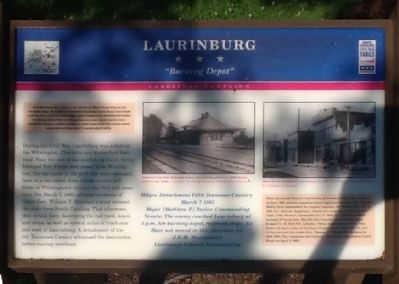
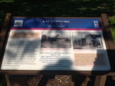
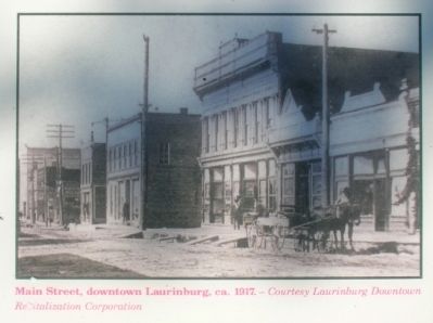
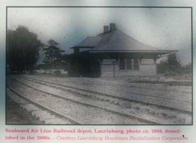
During the Civil War, Laurinburg was a stop on the Wilmington, Charlotte and Rutherford Railroad. Near the end of the conflict, as Union forces besieged Fort Fisher and closed in on Wilmington, the railyards in the port city were relocated here to a site about three blocks to your left. Some of Wilmington's citizens also fled and came here. On March 7, 1865, advance elements of Union Gen. William T. Sherman's army entered the state from South Carolina. That afternoon, they struck here, destroying the rail yard, depot, and shops, as well as several miles of track east and west of Laurinburg. A detachment of the 5th Tennessee Cavalry witnessed the destruction before moving northeast.
March 7 1865
Major [Matthew P.] Taylor Commanding
Scouts: The enemy reached Laurinburg at 3 p.m. Are burning depot, railroad shops, &c. Have not moved in this direction yet.
J.G.M. Montgomery
Lieutenant-Colonel, Commanding
Right Inset
When the newly formed Confederate government called for soldiers in June 1861, several companies were organized nearby. Capt. Charles Malloy first commanded the largest company, the Scotch Boys (Co. F, 18th N.C. Infantry Regiment), which was composed of 96 local men. Capt. Colin Stewart commanded Co. D, 46th Infantry, which included 87 local men. The Pee Dee Guards, also from this area, formed Co. D, 23rd N.C. Infantry. These regiments served in Gen. Robert E. Lee's Army of Northern Virginia from 1862 until the end of the war and also under Gen. Thomas J. "Stonewall" Jackson in 1862-1863. The regiments surrendered with Lee at Appomattox Court House on April 9, 1865.
Erected by North Carolina Civil War Trails.
Topics and series. This historical marker is listed in this topic list: War, US Civil. In addition, it is included in the North Carolina Civil War Trails series list. A significant historical date for this entry is February 1, 1865.
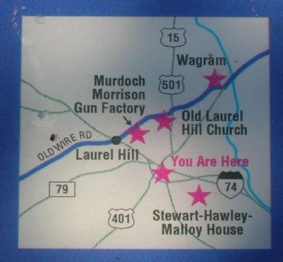
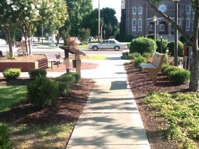
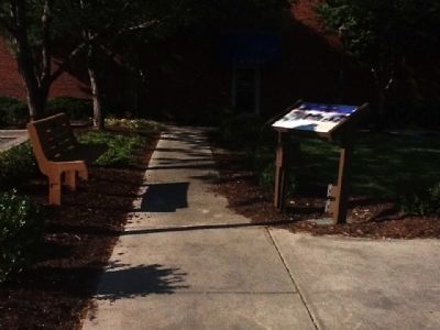
Location. 34° 46.47′ N, 79° 27.78′ W. Marker is in Laurinburg, North Carolina, in Scotland County. Marker is at the intersection of Church Street (Business U.S. 74) and Main Street (U.S. 15/501), on the left when traveling east on Church Street. Touch for map. Marker is in this post office area: Laurinburg NC 28352, United States of America. Touch for directions.
Other nearby markers. At least 8 other markers are within 3 miles of this marker, measured as the crow flies. Edwin Gill (about 300 feet away, measured in a direct line); Terry Sanford 1917-1998 (about 400 feet away); Scotland County Veterans Memorial (approx. 0.2 miles away); Our Confederate Heroes (approx. 0.2 miles away); Quackenbush (approx. 0.2 miles away); 09.11.2001 (approx. 0.2 miles away); Laurinburg Institute (approx. 0.7 miles away); St. Andrews Presbyterian College (approx. 2˝ miles away). Touch for a list and map of all markers in Laurinburg.
Credits. This page was last revised on June 16, 2016. It was originally submitted on June 9, 2012, by Michael C. Wilcox of Winston-Salem, North Carolina. This page has been viewed 782 times since then and 45 times this year. Photos: 1, 2, 3, 4, 5, 6, 7, 8. submitted on June 9, 2012, by Michael C. Wilcox of Winston-Salem, North Carolina. • Craig Swain was the editor who published this page.
