East Rochester in Monroe County, New York — The American Northeast (Mid-Atlantic)
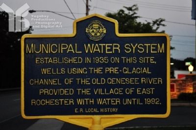
Municipal Water System
Erected 1997 by East Rochester Local History.
Topics. This historical marker is listed in these topic lists: Industry & Commerce • Man-Made Features • Waterways & Vessels. A significant historical year for this entry is 1935.
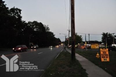
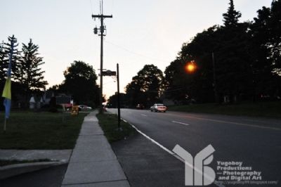
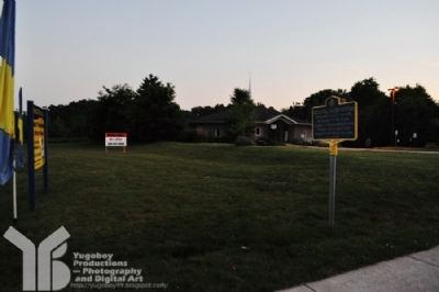
Location. 43° 6.242′ N, 77° 29.188′ W. Marker is in East Rochester, New York, in Monroe County. Marker is at the intersection of Fairport Road (Route 31f) and Waterworks Dr., on the right when traveling east on Fairport Road. Touch for map. Marker is in this post office area: East Rochester NY 14445, United States of America. Touch for directions.
Other nearby markers. At least 8 other markers are within walking distance of this marker. Fryatt House (approx. 0.3 miles away); Dedicated by the Citizens (approx. 0.3 miles away); Nick Verzella (approx. 0.3 miles away); ER Veteran's Memorial (approx. 0.4 miles away); Edmund Lyon Park (approx. 0.4 miles away); Worthing Homestead (approx. 0.4 miles away); First Village Schools (approx. half a mile away); Rialto Theater (approx. 0.6 miles away). Touch for a list and map of all markers in East Rochester.
Credits. This page was last revised on June 16, 2016. It was originally submitted on June 11, 2012, by Yugoboy of Rochester, New York. This page has been viewed 420 times since then and 23 times this year. Photos: 1, 2, 3, 4. submitted on June 11, 2012, by Yugoboy of Rochester, New York. • Bill Pfingsten was the editor who published this page.


