Near Cartersville in Bartow County, Georgia — The American South (South Atlantic)
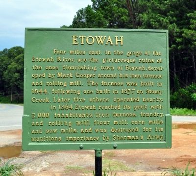
Etowah
In 1864, Etowah reached its peak with 2,000 inhabitants, iron furnace, foundry, and rolling mill, flour mill, corn mills and saw mills, and was destroyed for its munitions importance by Sherman’s Army.
Erected 2012 by J. B. Tate, Buster Garland, Jim Dellinger, Bill Davey, Frank Perkins, and the Cartersville Public Works Department.
Topics and series. This historical marker is listed in these topic lists: Industry & Commerce • Settlements & Settlers • War, US Civil. In addition, it is included in the Works Progress Administration (WPA) projects series list. A significant historical year for this entry is 1844.
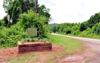
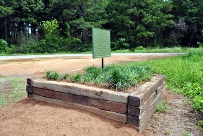
Location. 34° 9.007′ N, 84° 46.428′ W. Marker is near Cartersville, Georgia, in Bartow County. Marker is at the intersection of Georgia Route 293 and Old River Road, on the right when traveling north on State Route 293. Touch for map. Marker is in this post office area: Cartersville GA 30120, United States of America. Touch for directions.
Other nearby markers. At least 8 other markers are within 2 miles of this marker, measured as the crow flies. Friendship Cemetery (about 600 feet away, measured in a direct line); Federal Fort (approx. ¼ mile away); Amos T. Akerman (approx. 1.3 miles away); Amos T. Akerman (1821-1880) (approx. 1.3 miles away); Friendship Monument (approx. 1.6 miles away); Tribute on Monument / 38 Names on Monument (approx. 1.6 miles away); Asa Griggs Candler (approx. 1.6 miles away); Major General Pierce Manning Butler Young, CSA (approx. 1.6 miles away). Touch for a list and map of all markers in Cartersville.
More about this marker. The marker was originally erected by the Works Progress Administration in the late 1930s or 1940, north of its present location on US Highway 41 at an old overlook. It was numbered 41 D-7. The marker was removed from that location several years ago and ended up in storage at a state historic site.
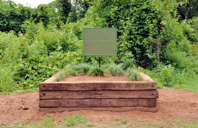
The marker was recently discovered by members of the Etowah Valley Historical Society, restored, and erected in its new location on June 1, 2012. During the restoration the top part of the marker, which contained the Georgia State Seal and the numbers, was removed.
A newspaper story of Etowah, the marker, and its restoration is here:
http://www.daily-tribune.com/view/full_story/18934364/article-Restored-marker-highlights-town-of-Etowah?instance=latest_articles
Related markers. Click here for a list of markers that are related to this marker. To better understand the relationship, study each marker in the order shown.
Credits. This page was last revised on June 16, 2016. It was originally submitted on June 12, 2012, by David Seibert of Sandy Springs, Georgia. This page has been viewed 1,081 times since then and 32 times this year. Photos: 1, 2, 3, 4. submitted on June 12, 2012, by David Seibert of Sandy Springs, Georgia. • Craig Swain was the editor who published this page.


