Arlington Forest in Arlington County, Virginia — The American South (Mid-Atlantic)
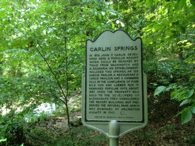
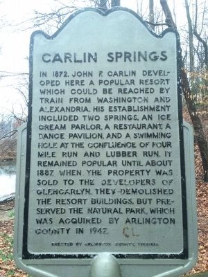
Carlin Springs
Erected by Arlington County, Virginia.
Topics. This historical marker is listed in these topic lists: Man-Made Features • Natural Features. A significant historical year for this entry is 1872.
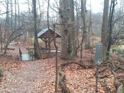
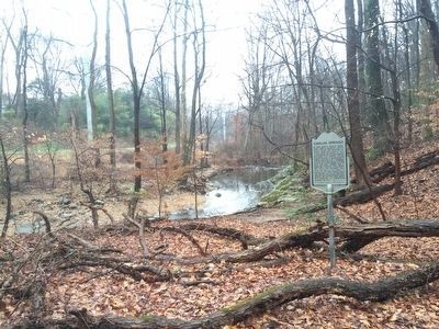
Location. 38° 51.92′ N, 77° 7.37′ W. Marker is in Arlington, Virginia, in Arlington County. It is in Arlington Forest. Marker can be reached from the intersection of 2nd Street and South Jefferson Street, on the left when traveling east. In Glencarlyn Park (approach from 2nd Street South and South Jefferson Street entrance). Touch for map. Marker is in this post office area: Arlington VA 22204, United States of America. Touch for directions.
Other nearby markers. At least 8 other markers are within walking distance of this marker. Glencarlyn Station (about 800 feet away, measured in a direct line); Enslaved Here (approx. 0.2 miles away); John Ball House (approx. 0.2 miles away); The Ball-Carlin Cemetery (approx. ¼ mile away); Carlin Community Hall (approx. ¼ mile away); Mary Carlin House (approx. 0.3 miles away); Moses Ball Grant (approx. 0.4 miles away); Named Stones (1989) (approx. half a mile away). Touch for a list and map of all markers in Arlington.
Credits. This page was last revised on February 1, 2023. It was originally submitted on June 16, 2012, by Kevin Vincent of Arlington, Virginia. This page has been viewed 1,581 times since then and 83 times this year. Photos: 1. submitted on July 9, 2012, by Kevin Vincent of Arlington, Virginia. 2, 3, 4. submitted on March 15, 2016, by J. Makali Bruton of Accra, Ghana. • Craig Swain was the editor who published this page.


