Virginia Square in Arlington in Arlington County, Virginia — The American South (Mid-Atlantic)
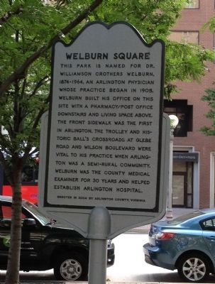
Welburn Square
Erected 2004 by Arlington County, Virginia.
Topics. This historical marker is listed in these topic lists: Parks & Recreational Areas • Railroads & Streetcars • Science & Medicine. A significant historical year for this entry is 1905.
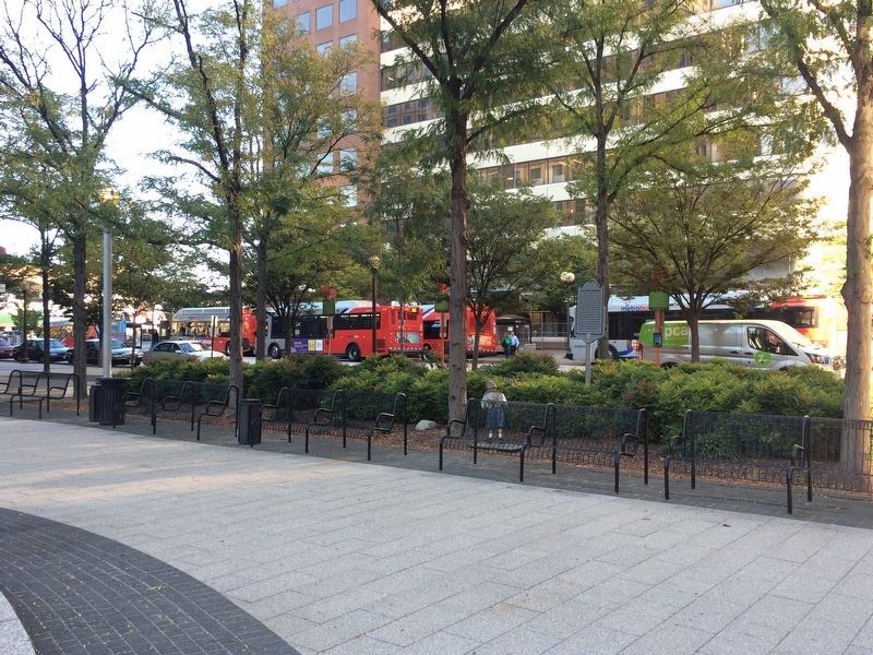
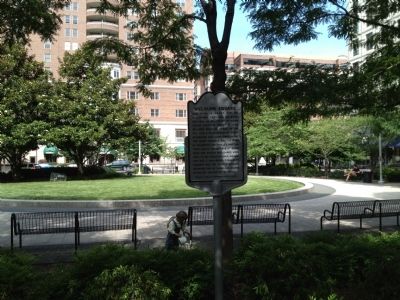
Location. 38° 52.88′ N, 77° 6.72′ W. Marker is in Arlington, Virginia, in Arlington County. It is in Virginia Square. Marker can be reached from North Stuart Street south of North Fairfax Drive, on the right when traveling south. The park is located between North Stuart and North Taylor Streets in Ballston. Touch for map. Marker is at or near this postal address: 901 N Taylor St, Arlington VA 22203, United States of America. Touch for directions.
Other nearby markers. At least 8 other markers are within walking distance of this marker. Ball's Crossroads (about 500 feet away, measured in a direct line); Ballston (about 600 feet away); Peck Chevrolet (approx. 0.2 miles away); Human Rights (approx. 0.2 miles away); Urban Development (approx. 0.2 miles away); Ellen Bozman (approx. 0.2 miles away); Health & Welfare (approx. 0.2 miles away); The Blue Goose (approx. ¼ mile away). Touch for a list and map of all markers in Arlington.
Credits. This page was last revised on February 11, 2023. It was originally submitted on June 16, 2012, by Kevin Vincent of Arlington, Virginia. This page has been viewed 1,034 times since then and 143 times this year. Photos: 1. submitted on June 16, 2012, by Kevin Vincent of Arlington, Virginia. 2. submitted on October 4, 2017, by J. Makali Bruton of Accra, Ghana. 3. submitted on June 16, 2012, by Kevin Vincent of Arlington, Virginia. • Bernard Fisher was the editor who published this page.


