Near Buena Vista in Marion County, Georgia — The American South (South Atlantic)
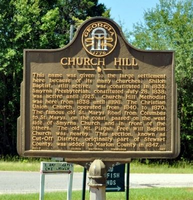
Church Hill
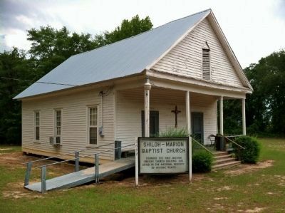
The famous old St. Marys Road from Columbus to St. Marys, on the coast, passed on the west side of Smyrna Church and in front of the others. The old Mt. Pisgah Free Will Baptist Church was nearby. This section, known as Cut-Off District, originally part of Stewart County, was added to Marion County in 1847.
Erected 1957 by Georgia Historical Commission. (Marker Number 098-5.)
Topics and series. This historical marker is listed in these topic lists: Churches & Religion • Roads & Vehicles • Settlements & Settlers. In addition, it is included in the Georgia Historical Society series list. A significant historical date for this entry is July 28, 1856.
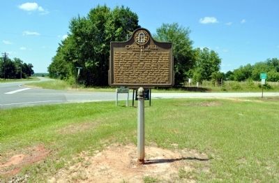
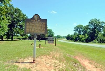
Location. 32° 9.753′ N, 84° 32.724′ W. Marker is near Buena Vista, Georgia, in Marion County. Marker is at the intersection of Georgia Route 41 and Churchill Road (County Route 123), on the left when traveling north on State Route 41. Touch for map. Marker is in this post office area: Buena Vista GA 31803, United States of America. Touch for directions.
Other nearby markers. At least 8 other markers are within 9 miles of this marker, measured as the crow flies. Lannahassee (approx. 6.7 miles away); Veterans (approx. 6.7 miles away); First Confederate Flag Raising in Georgia (approx. 6.7 miles away); Webster County (approx. 6.7 miles away); Walter F. George (approx. 6.7 miles away); Providence Chapel (approx. 8.4 miles away); Cedarwood Cemetery (approx. 8.6 miles away); Richland Baptist Church Site (approx. 8.7 miles away).
Credits. This page was last revised on June 16, 2016. It was originally submitted on June 21, 2012, by David Seibert of Sandy Springs, Georgia. This page has been viewed 619 times since then and 33 times this year. Photos: 1, 2, 3, 4. submitted on June 21, 2012, by David Seibert of Sandy Springs, Georgia. • Craig Swain was the editor who published this page.


