Kinderhook in Columbia County, New York — The American Northeast (Mid-Atlantic)
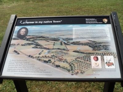
“… a Farmer in my native Town”
Martin Van Buren Nat’l Hist Site
— National Park Service, U.S. Department of the Interior —
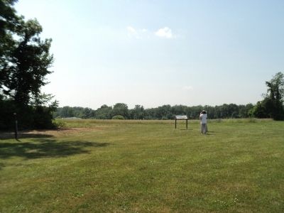
The view before you is much like the one Martin Van Buren enjoyed during the last 21 years of his life. Although in the course of his political career Van Buren traveled widely and kept company with heads of state and the foremost political figures of his day, once in retirement his affection for this property and his enthusiasm for the agrarian life made him reluctant to be elsewhere. He was intensely interested in improving the land’s productivity. He directed the farm laborers to construct ditches to better drain fields, use newly patented plows and farm equipment, and experimented with different fertilizers. An 1849 letter described Van Buren as “an amateur farmer who prides himself upon having his farm in better order than his neighbor.”
“I, Martin Van Buren of the Town of Kinderhook, County of Columbia, State of New York, heretofore Governor of the State, and more recently President of the United States, but for the last and happiest years of my life, a Farmer in my native Town, do make and declare the following to be my last Will and Testament … ”In his will, Van Buren includes his role as farmer among his most eminent posts.
Erected by National Park Service, U.S. Department of the Interior.
Topics and series. This historical marker is listed in this topic list: Agriculture. In addition, it is included in the Former U.S. Presidents: #08 Martin Van Buren series list. A significant historical year for this entry is 1849.
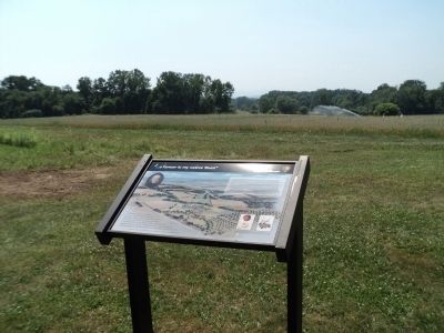
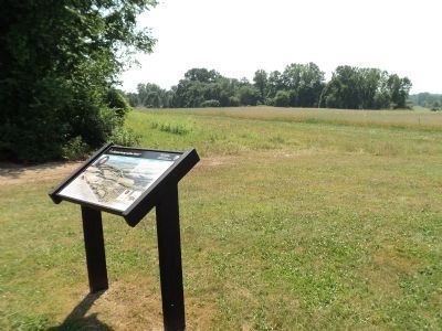
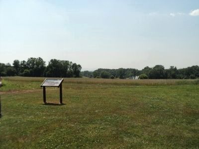
Location. 42° 22.315′ N, 73° 42.208′ W. Marker is in Kinderhook, New York, in Columbia County. Marker can be reached from Old Post Road, on the left when traveling north. Marker is located behind the Visitor Center on the grounds of the Martin Van Buren National Historic Site. Touch for map. Marker is in this post office area: Kinderhook NY 12106, United States of America. Touch for directions.
Other nearby markers. At least 8 other markers are within walking distance of this marker. Soil Improvers (about 500 feet away, measured in a direct line); Uncovering the Past (about 600 feet away); Welcome to Lindenwald (about 700 feet away); A Bustling Household (about 700 feet away); Marble Mounting Block (about 700 feet away); Fertile Political Ground (about 700 feet away); Fallen White Mulberry Tree (approx. 0.2 miles away); 1849-50 A House Transformed (approx. 0.2 miles away). Touch for a list and map of all markers in Kinderhook.
More about this marker. The background of the marker features a picture of Lindenwald circa 1850. A portrait of Martin Van Buren appears in the upper left of the marker, and the lower right contains pictures of “Esopus Spitzenburg apples and Seckel pears [which] are two of the varieties of fruit that were grown in Lindenwald’s orchards.”
Also see . . .
1. Martin Van Buren National Historic Site. National Park Service website. (Submitted on June 22, 2012, by Bill Coughlin of Woodland Park, New Jersey.)
2. Biography of Martin Van Buren. The White House website entry (Submitted on June 22, 2012, by Bill Coughlin of Woodland Park, New Jersey.)
3. Van Buren, Martin, National Historic Site - National Park Service. Download National Register of Historic Places documentation (Submitted on January 17, 2024, by Anton Schwarzmueller of Wilson, New York.)
Credits. This page was last revised on April 7, 2024. It was originally submitted on June 22, 2012, by Bill Coughlin of Woodland Park, New Jersey. This page has been viewed 530 times since then and 26 times this year. Photos: 1, 2, 3, 4, 5. submitted on June 22, 2012, by Bill Coughlin of Woodland Park, New Jersey.
