Plattekill in Ulster County, New York — The American Northeast (Mid-Atlantic)
Newburgh Area
Historic New York
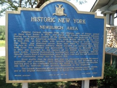
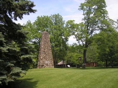
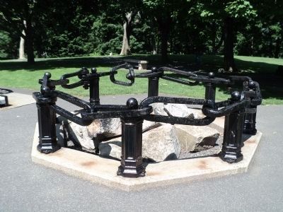
Palatine German refugees from the religious wars of Europe settled on these river banks in 1709, and Dutch and French Huguenots followed. During the Revolution, control of the Hudson River was important for British strategy and for American defense. To block British advance up the river in May 1778, an iron chain with two-foot links forged at nearby Sterling Iron Works, was stretched across from West Point to Constitution Island. On July 16, 1779, General Anthony Wayne stormed and captured Stony Point. West Point was fortified and garrisoned. Its betrayal by Benedict Arnold in 1780 was thwarted by the capture of his British collaborator, Major John Andre. General Washington’s headquarters were at Newburgh, 1782-83. General Henry Knox’s headquarters were at Vail’s Gate, and the last cantonment of the Continental Army was at Temple Hill.
River traffic first by sloop and then by steamboat brought increased population and commerce. Small factories sprang up and Newburgh as a thriving port in the nineteenth century was linked to the interior by turnpikes and later by railroads. Fruit growing flourished in the highlands.
The Catskill Mountains attract tourists and provide vacation resorts. Goshen, site of the original Hambletonian event, is famous for trotting horse races.
Erected 1963 by State of New York Education Department, N.Y.S. Thruway Authority.
Topics and series. This historical marker is listed in these topic lists: Colonial Era • War, US Revolutionary. In addition, it is included in the Former U.S. Presidents: #01 George Washington, and the Historic New York State series lists. A significant historical month for this entry is May 1778.
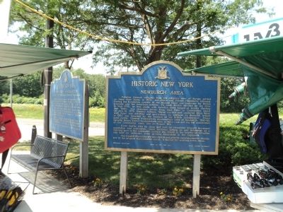
Location. 41° 34.649′ N, 74° 5.126′ W. Marker is in Plattekill, New York, in Ulster County. Marker is on New York State Thruway (Interstate 87), on the right when traveling north. Marker is located on the New York State Thruway in the Plattekill Travel Plaza. Touch for map. Marker is in this post office area: Plattekill NY 12568, United States of America. Touch for directions.
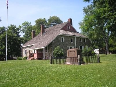
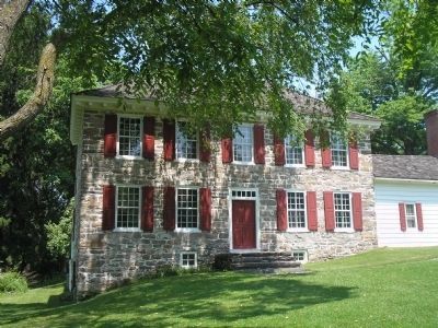
Other nearby markers. At least 8 other markers are within 6 miles of this marker, measured as the crow flies. Washington’s Headquarters (here, next to this marker); a different marker also named Newburgh Area (approx. one mile away); a different marker also named Washington’s Headquarters (approx. 1.1 miles away); Thomas Machin’s Mint (approx. 2.6 miles away); Gidney Grist Mill (approx. 4½ miles away); The Balmville Tree (approx. 4.9 miles away); Colden Family Cemetery (approx. 5 miles away); Historical Site (approx. 5.2 miles away).
Credits. This page was last revised on June 16, 2016. It was originally submitted on June 23, 2012, by Bill Coughlin of Woodland Park, New Jersey. This page has been viewed 526 times since then and 14 times this year. Photos: 1, 2, 3, 4, 5, 6. submitted on June 23, 2012, by Bill Coughlin of Woodland Park, New Jersey.
