Lake Katrine in Ulster County, New York — The American Northeast (Mid-Atlantic)
Kingston Area
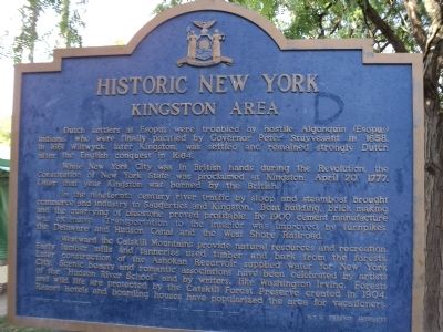
Historic New York
Dutch Settlers at Esopus were troubled by hostile Algonquin (Esopus) Indians, who were finally pacified by Governor Peter Stuyvesant in 1658. In 1661 Wiltwyck, later Kingston, was settled and remained strongly Dutch after the English conquest in 1664.
While New York City was in British hands during the Revolution, the Constitution of New York State was proclaimed at Kingston, April 20, 1777. Later that year Kingston was burned by the British.
In the nineteenth century river traffic by sloop and steamboat brought commerce and industry to Saugerties and Kingston. Boat building, brick making and the quarrying of bluestone proved profitable. By 1900 cement manufacture was extensive. Transportation to the interior was improved by turnpikes, the Delaware and Hudson Canal and the West Shore Railroad.
Westward the Catskill Mountains provide natural resources and recreation. Early lumber mills and tanneries used timber and bark from the forests. Later construction of the Ashokan Reservoir supplied water for New York City. Scenic beauty and romantic associations have been celebrated by artists of the “Hudson River School” and by writers, like Washington Irving. Forests and wild life are protected by the Catskill Forest Preserve created in 1904. Resort hotels and boarding houses have popularized the area for vacationers.
Erected 1963 by New York State Education Department, N.Y.S. Thruway Authority.
Topics and series. This historical marker is listed in these topic lists: Arts, Letters, Music • Colonial Era • Industry & Commerce • War, US Revolutionary. In addition, it is included in the Historic New York State series list. A significant historical date for this entry is April 20, 1908.
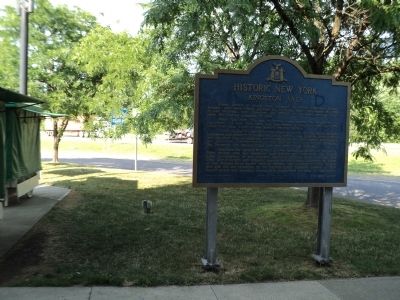
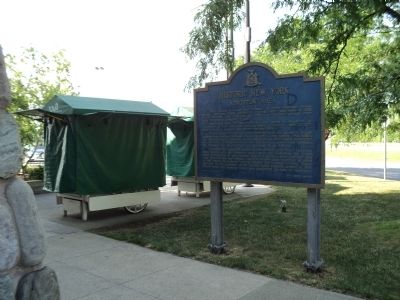
Location. 42° 0.849′ N, 73° 59.974′ W. Marker is in Lake Katrine, New York, in Ulster County. Marker is on New York Thruway (Interstate 87), on the right when traveling south. Marker is located in the Ulster Travel Plaza on the New York Thruway. Touch for map. Marker is in this post office area: Lake Katrine NY 12449, United States of America. Touch for directions.
Other nearby markers. At least 8 other markers are within 5 miles of this marker, measured as the crow flies. The Senate House – 1676 (a few steps from this marker); Flatbush Reformed Church (approx. 2.4 miles away); Site of Leggs’ Mill (approx. 2½ miles away); Howe’s Powder Mill (approx. 2.7 miles away); Catskill Mountains (approx. 2.9 miles away); Glasco Turnpike (approx. 3.1 miles away); Zena - Waghkonk (approx. 4 miles away); Former New York State Champion Tree (approx. 4.3 miles away).
Credits. This page was last revised on June 16, 2016. It was originally submitted on June 23, 2012, by Bill Coughlin of Woodland Park, New Jersey. This page has been viewed 560 times since then and 10 times this year. Photos: 1, 2, 3. submitted on June 23, 2012, by Bill Coughlin of Woodland Park, New Jersey.


