Near Greer in Greenville County, South Carolina — The American South (South Atlantic)
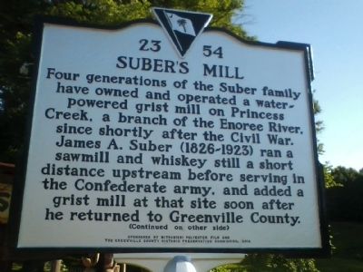
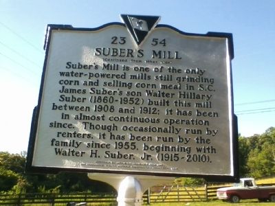
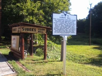
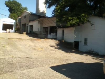
Suber's Mill
(Back):
(Continued from other side )
Suber's Mill is one of the only water-powered mills still grinding corn and selling corn meal in S.C. James Suber's son Walter Hillary Suber (1860-1952) built this mill between 1908 and 1912; it has been in almost continuous operation since. Though occasionally run by renters, it has been run by the family since 1955, beginning with Walter H. Suber. Jr. (1915-2010).
Erected 2012 by Sponsored by Misubishi Polyester Film and the Greenville County Historic Preservation Commission,. (Marker Number 23 54.)
Topics. This historical marker is listed in these topic lists: Agriculture • Industry & Commerce. A significant historical year for this entry is 1908.
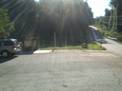
Location. 34° 55.909′ N, 82° 15.852′ W. Marker is near Greer, South Carolina, in Greenville County. Marker is on Suber Mill Road. Touch for map. Marker is in this post office area: Greer SC 29650, United States of America. Touch for directions.
Other nearby markers. At least 8 other markers are within 3 miles of this marker, measured as the crow flies. Mike Garfield (approx. 1.4 miles away); Southern Bleachery Mill Village / Mill Superintendent House (approx. 1.8 miles away); Spring-Wood Park (approx. 1.9 miles away); Worth Barnett Overpass (approx. 1.9 miles away); Stone Mortar (approx. 2.1 miles away); Tribute to Greer Firefighters (approx. 2.1 miles away); 101 Trade Street (approx. 2.2 miles away); National Highway (approx. 2.3 miles away). Touch for a list and map of all markers in Greer.
Credits. This page was last revised on June 16, 2016. It was originally submitted on June 27, 2012, by Stanley and Terrie Howard of Greer, South Carolina. This page has been viewed 933 times since then and 62 times this year. Photos: 1, 2, 3, 4, 5. submitted on June 27, 2012, by Stanley and Terrie Howard of Greer, South Carolina. • Craig Swain was the editor who published this page.
